

























































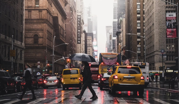
New York City gets a clear, comfortable start Sunday, with temperatures near 68 degrees before the day warms into the low 80s. The calm opening will give way to a more unsettled stretch, with showers and thunderstorms possible this afternoon and rain chances lingering through much of the week.
Storms Arrive Sunday Afternoon
Sunday will be partly sunny with a high near 82, but showers and thunderstorms could develop between 2 and 5 p.m. and continue into the evening. The National Weather Service says some downpours could be heavy, with isolated flash flooding possible even though the overall severe-storm threat remains low.
Southwest winds will run around 5 to 10 mph and may become gustier during the afternoon. Along the ocean beaches, building waves and stronger southwest winds will bring a moderate rip current risk Sunday, so beachgoers should use extra caution near the water.
Monday Offers Only A Brief Breather
Monday looks somewhat quieter, with partly sunny skies, a high near 80 and a 30% chance of rain showers. The break may not last long, as rain showers become likely Monday night while temperatures hold near 72 degrees.
Wet Pattern Lingers Through Thursday
Tuesday brings another warm but unsettled day, with a high near 83, showers likely before the afternoon and thunderstorms possible later. Wednesday stays mostly cloudy with a high near 80, followed by additional shower and thunderstorm chances Wednesday night.
Showers and thunderstorms are likely again Thursday, with a high near 82 and more unsettled weather into Thursday night. The repeated rain chances could make for a soggy commute and complicate outdoor plans across the city, especially during afternoon and evening periods.
Late Week Trends Drier
Conditions should improve somewhat Friday and Saturday, though neither day is completely rain-free. Friday is expected to be mostly sunny with a high near 80 and a 30% chance of showers, while Saturday reaches about 79 with a chance of showers after 8 a.m.



