

























































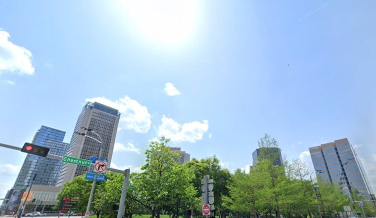
St. Louis is waking up to clear skies and temperatures near 77°F, but the thermometer is headed toward 97°F Wednesday. An Extreme Heat Warning remains in effect through 8 p.m. Thursday, with the heat index expected to reach 110°F and little relief overnight.
Wednesday Heat Peaks Before Storm Chances
Mostly sunny skies will push temperatures into the 90s Wednesday, with a 30% chance of showers and thunderstorms after noon. The National Weather Service says any stronger storms could produce damaging wind gusts, particularly in parts of Illinois, while isolated storms closer to St. Louis may bring brief heavy rain.
Thursday Offers Little Relief
Thursday will be mostly sunny after a slight chance of early-morning showers and thunderstorms, with a high near 96°F and heat index values up to 105°F. Wednesday night will only cool to around 78°F, followed by a Thursday night low near 79°F.
Residents should limit strenuous outdoor activity, drink plenty of fluids and spend time in air-conditioned spaces when possible. Children and pets should never be left in parked vehicles, and anyone showing signs of heat stroke should be moved to a cool place and taken for emergency help; the City of St. Louis lists cooling sites and directs residents to call 2-1-1 for the latest local options.
Weekend Heat Builds Again
Friday and Saturday look hottest, with highs near 99°F and 101°F under mostly sunny skies. Sunday should reach about 99°F before a stronger shift early next week brings highs near 90°F Monday and 88°F Tuesday, along with additional storm chances Monday.




