

























































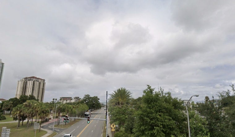
Jacksonville is waking up clear but sticky Saturday, with temperatures near 76 degrees and humidity around 90%. That calm start may not last: showers could develop late this morning, followed by a better chance of thunderstorms through the afternoon and evening.
Storms Arrive As Temperatures Peak
According to the National Weather Service in Jacksonville, a slight chance of showers is expected between 7 a.m. and noon, with thunderstorms becoming more likely from noon into the afternoon. The high should reach about 89 degrees, while the heat index could climb to 100 before storms knock temperatures back toward the mid-80s.
Southeast winds will run 3 to 13 mph, with gusts up to 20 mph. Storm coverage is expected to increase later in the day, with the greatest rain chances from midafternoon into the evening.
Heavy Rain Is The Main Concern
Some storms could produce heavy downpours, with rainfall totals between a quarter-inch and half an inch possible. Localized flooding is the primary concern, particularly along the corridor between Interstate 95 and U.S. 301.
A few stronger storms could bring frequent lightning and gusts of 40 to 50 mph, while an isolated downburst near 60 mph cannot be ruled out inland. No watches or warnings are currently listed, but drivers should avoid flooded roads and head indoors when thunder is nearby.
Warm, Stormy Pattern Continues
Saturday night will stay mostly cloudy, with a chance of showers and thunderstorms and a low near 76 degrees. Sunday and Monday bring another round of afternoon and evening storms, with highs near 88 to 89 and Sunday’s heat index potentially reaching 103.
Rain chances ease somewhat after Monday, but the heat builds. Highs are expected to reach around 90 Tuesday and Wednesday, 92 Thursday and 93 Friday, with at least a slight chance of storms continuing most afternoons.
Moderate Rip Current Risk At Beaches
Beachgoers should also watch for a moderate rip current risk as surf builds to 2 to 3 feet. East to southeast winds may push showers and isolated storms toward the coast overnight and into early morning.





