

























































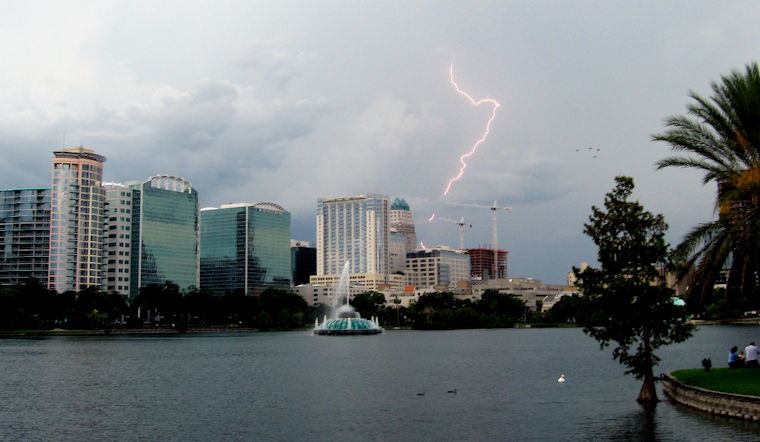
Orlando is starting Sunday clear and warm, with temperatures near 79 degrees early in the morning. The calm opening should not last, as rain chances rise late morning and thunderstorms become likely from early afternoon into the evening. The high is expected to reach about 89 degrees before storms knock temperatures back toward the low 80s.
Storms Build After Lunch
A few showers could arrive before 11 a.m., followed by increasing thunderstorm chances from late morning through the afternoon. The strongest storms may produce frequent lightning, brief torrential rain and wind gusts of 50 to 55 mph, with a small chance of an isolated gust near 60 mph, according to the National Weather Service in Melbourne.
Repeated downpours could create localized flooding, especially in areas with poor drainage. Forecasters estimate a small chance of receiving 2 to 4 inches of rain in six hours, so drivers should be ready for sudden slowdowns and standing water.
Heat Still Feels Like The Main Event
Even with clouds and storms, humidity could push heat index values between 98 and 106 degrees. South-southwest winds will run 5 to 15 mph, with gusts up to 25 mph outside thunderstorms. Anyone heading outdoors should have a quick way to get inside when thunder starts and should avoid driving through flooded streets.
Storm Chances Stay Elevated This Week
Monday brings another hot, stormy setup, with mostly sunny skies early, a high near 91 degrees and thunderstorms likely after noon. Tuesday through Thursday will run hotter, with highs near 93 and afternoon storm chances generally between 60% and 70%.
By midweek, an Atlantic sea breeze should become more influential, shifting the heaviest storm coverage toward inland areas while keeping coastal neighborhoods in the mix. Showers and thunderstorms are expected to remain common Friday and Saturday, with highs from 91 to 93 degrees and another stretch of muggy, unsettled weather ahead.





