

























































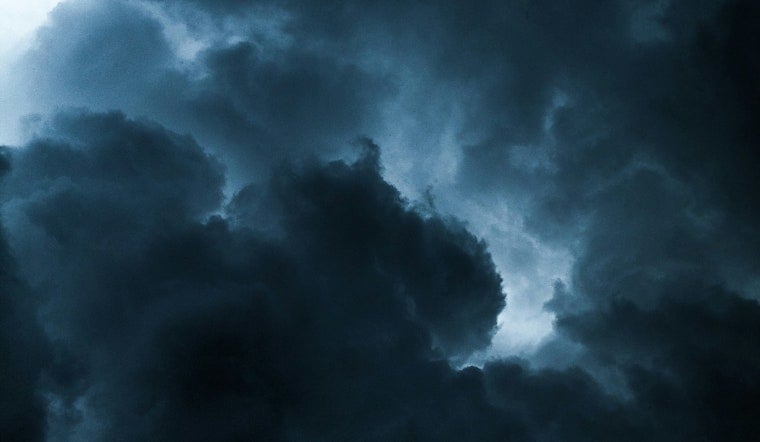
Strong storms rolled through Central Texas Thursday evening, dropping heavy rain, kicking up gusty winds and knocking out power to roughly 7,000 Austin Energy customers before crews worked through the night to bring that number down. By 9:10 p.m., outages had fallen to 1,085 customers, according to the utility's outage map. Viewers across the region also sent in photos and video showing downed tree branches, wind damage and at least one striking weather phenomenon spinning across the Hill Country sky.
The storms moved across parts of Central Texas on Thursday, and viewers shared images capturing the action as it unfolded, according to KXAN Austin. In South Austin, a photo credited to Beth Ann Cole showed tree branches that had fallen amid the gusty winds. Near Dripping Springs, a photo credited to Caitlin Nash captured what appeared to be a gustnado tearing across the landscape, a sight dramatic enough to send residents reaching for their phones.
That kind of whirlwind looks alarming on video, but meteorologists classify it differently than the tornadoes it resembles. A gustnado is a small, short-lived whirlwind that forms along a thunderstorm's outflow boundary at ground level rather than connecting to rotation at the base of a cloud, according to the National Weather Service. The spinning columns can still produce winds between 65 and 85 mph, comparable to an EF0 tornado, but NOAA categorizes them as thunderstorm wind events rather than true tornadoes.
A Break From Weeks of Dry Heat
Thursday's storms arrived on the heels of a Heat Advisory that had warned of highs up to 104 degrees and heat index values nearing 110, conditions the National Weather Service had flagged just hours before the rain moved in. The shift came as a cold front pushed south into Central Texas and collided with earlier storm outflow boundaries and a mid-level disturbance tracking in from the Trans-Pecos region, a combination NWS forecast discussions described as the area's best rain chance in weeks.
The timing mattered because August tends to be one of the driest months on record for Central Texas. Climate records for Austin's Camp Mabry station show a normal monthly precipitation total of only about 2.2 inches for August, and daily climate reports had recorded zero rainfall for the month through August 26. For a region parched by weeks of triple-digit heat, Thursday's downpours offered a rare, if brief, dose of relief.
The storm threat wasn't confined to the Austin area. Severe weather advisories issued across North and Central Texas warned that isolated storm cells could produce damaging wind gusts up to 60 mph and penny-sized hail, as reported by MySA. Heat indices across the broader region had climbed as high as 109 degrees before the storms developed, adding to the atmospheric instability that fueled Thursday's activity. Under National Weather Service criteria, a thunderstorm is only classified as severe once it produces wind gusts of at least 58 mph or hail an inch or larger in diameter.
Why Even Brief Storms Raise Flooding Concerns
Central Texas carries the nickname Flash Flood Alley for a reason. Emergency officials and meteorologists designate the region as one of the most flash-flood-prone areas in North America because of its steep topography, narrow river valleys and thin soils sitting atop impermeable limestone bedrock, according to the City of Austin. Those shallow soils prevent heavy rain from soaking in, which means even a short, intense downpour can trigger fast-moving surface runoff.
Austin Energy's outage response Thursday also reflects lessons learned from a far larger storm. The utility, which serves more than 500,000 customers across a 437-square-mile service area spanning Travis and Williamson counties, overhauled its storm damage assessment and outage mapping protocols after a devastating microburst in May 2025 knocked out power to more than 124,000 customers and snapped 91 utility poles. That storm ranks as the third-worst in Austin Energy's history, and the updated protocols were built to speed up emergency restorations during events like Thursday's.
Air quality added another layer to an already eventful stretch of weather. The Texas Commission on Environmental Quality issued Ozone Action Day forecasts for major urban areas including Austin on both August 26 and 27, as high summer temperatures trapped ground-level pollutants ahead of the cold front's arrival. The compounding hazards, extreme heat, degraded air quality and then sudden severe storms, mirror a pattern Hoodline reported earlier Thursday when the Heat Advisory and a 30% thunderstorm chance were first announced for the area.
Thursday's storm also fits a broader trend that has played out repeatedly across Central Texas this year, from a February cold front that cut power to roughly 7,000 customers, to a freak July system that turned the region into what one report called hail alley, to a hot Tuesday evening in May that ended with gusty winds and outages along the I-35 corridor. KXAN had invited viewers with photos or video from Thursday's storms to submit them through its Report It! feature, adding to the growing collection of neighborhood-level snapshots documenting the summer's volatile weather pattern.





