

























































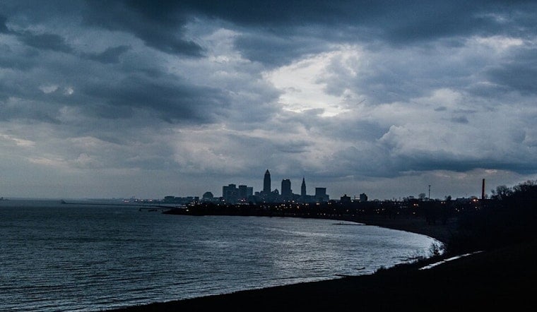
Cleveland is getting a gray start Thursday, with scattered showers and thunderstorms expected this morning before the front pushes south. The city should warm to about 79 degrees, but the bigger weather story is the weekend: a brief sunny reset Friday gives way to a wetter Saturday and a cooler, unsettled Sunday.
Thursday Starts Wet, Then Brightens
Showers and thunderstorms are most likely before about 10 a.m. Thursday, with a few isolated showers or storms possible into the afternoon. The National Weather Service Cleveland office says locally heavy rain is possible south of the city early, where already-saturated ground could allow water to collect quickly; no watches, warnings or advisories are posted.
Clouds should break into partly sunny periods by late morning, with temperatures reaching the mid-to-upper 70s. East to northeast winds will increase to around 10 to 13 mph during the afternoon, so a light jacket may be useful near the lake even as inland neighborhoods warm up.
Friday Is The Week’s Best Outdoor Window
Friday looks sunny and dry, with a high near 81 degrees and an overnight low around 65. Winds should stay light, making it the cleanest day for lakefront walks, patios and other outdoor plans before the next batch of storms arrives.
Saturday Brings The Main Storm Threat
Saturday starts mostly sunny, but showers and thunderstorms become likely from the afternoon into the evening, with a 70% chance of precipitation and a high near 80. The weather service forecast discussion identifies Saturday afternoon as the main period to watch for more organized storms and locally heavy rainfall.
Saturday night remains unsettled, with showers and thunderstorms likely, an 80% rain chance and a low near 63. On Sunday, showers could linger into early afternoon before tapering to a slight chance of storms, while northwest winds push the high down to about 75 degrees.
Lake Erie conditions may also turn rougher late Saturday into Sunday, with waves potentially building to 2 to 4 feet. Boaters and beachgoers should check updated forecasts before heading out, especially if stronger winds or higher waves lead to beach-hazard statements.
Cooler, Drier Weather Follows
Monday brings a slight chance of an early shower before mostly sunny skies take over, with a high near 74. Tuesday looks mostly sunny and warmer at about 78 degrees, while Wednesday reaches around 80 with a slight chance of afternoon showers and thunderstorms.





.jpg)