

























































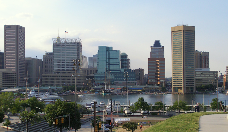
Baltimore is starting Tuesday on the mild side, with temperatures near 74 degrees before the city climbs toward a partly sunny high of 87. Northeast winds around 7 mph should keep the afternoon reasonably manageable, but the calm weather will not last long. Forecasters are watching Tuesday night for slow-moving showers and thunderstorms that could trigger localized urban flooding.
Heavy Rain Threat Builds Tuesday Night
Most of Tuesday should remain dry, with clouds and sunshine sharing the sky through the afternoon. The rain risk increases late Tuesday as a warm front lifts north, bringing a chance of showers and thunderstorms after roughly 2 a.m. Wednesday; the forecast calls for a 40% chance of precipitation and up to a quarter-inch of rain in some spots.
The National Weather Service is monitoring the possibility of slow-moving storms over the Baltimore and Washington metro areas. The heaviest downpours could produce intense rainfall in a short period, raising concerns for street and poor-drainage flooding even though no flood watch is currently posted.
Storms Continue Into Wednesday
Wednesday looks mostly cloudy, with showers and thunderstorms likely before 2 p.m. and additional storm chances later in the day. The high should reach about 86 degrees, with a 60% chance of rain and possible totals between a quarter-inch and a half-inch.
Hotter Stretch Arrives Thursday
Thursday through Sunday will bring a hotter, more humid pattern, with highs generally in the low 90s and daily chances for afternoon or evening thunderstorms. Heat indices could approach 100 degrees from Thursday through Sunday, while storms may bring locally heavy rain and strong wind gusts.
For Tuesday night and Wednesday morning, Baltimore residents should avoid driving through water-covered streets and keep an eye on rapidly changing conditions. Outdoor plans may be comfortable Tuesday afternoon, but they could run into a much wetter and more unsettled stretch after dark.




