

























































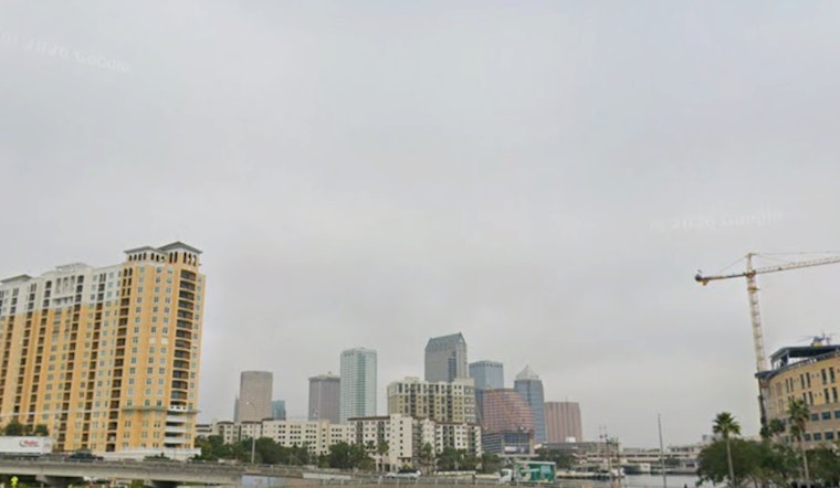
Tampa is starting Thursday, August 6, clear and sticky, with temperatures around 76 degrees and humidity making the morning feel warmer than the thermometer suggests. That calm opening is temporary, though, as afternoon thunderstorms are expected to move into the forecast and keep outdoor plans flexible.
Mostly sunny skies should carry the city through late morning before showers and thunderstorms begin developing around noon and become more likely through the afternoon. The National Weather Service Tampa Bay puts the daytime rain chance near 70%, with a high around 91 degrees and heat-index readings as high as 99.
Afternoon Storms Could Bring Heavy Downpours
Rain chances rise quickly after midday, with the best odds from roughly 2 p.m. through early evening. Some storms could drop a quarter- to half-inch of rain, along with lightning, brief heavy downpours and sudden, gusty winds.
Thursday night stays unsettled, with scattered showers and thunderstorms possible before 8 p.m. and isolated activity lingering until about 10 p.m. Skies should turn partly cloudy later, with temperatures settling near 75 degrees.
Storm Chances Stay High Through Saturday
Friday, August 7, brings another mostly sunny start followed by isolated storms after 2 p.m. The high should again reach about 91 degrees, the heat index could approach 100, and the chance of rain rises to 50% during the day and 70% Friday night.
Saturday looks like the wettest day of the weekend, with a 70% chance of afternoon and evening showers and thunderstorms and a high near 92. Sunday remains hot at about 93 degrees, but the rain chance dips to 40% before settling near 30% Monday and Tuesday.
No Advisories Are In Effect
No watches, warnings or advisories are currently posted for the Tampa area. Winds should generally remain light and easterly, though thunderstorms can produce brief gusts and rapidly changing conditions, so outdoor plans and boat trips will benefit from a quick forecast check before heading out.





