

























































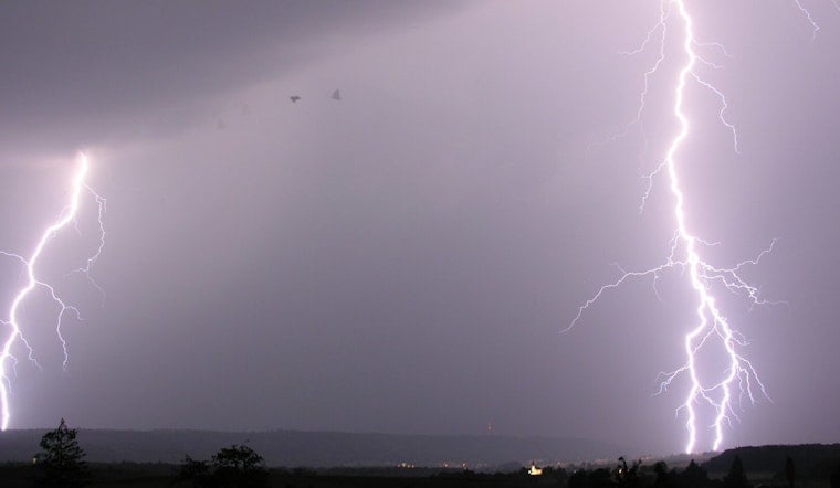
Las Vegas begins Thursday in the upper 70s under clear skies, but the quiet start is expected to give way to a stormy afternoon. Showers and thunderstorms could develop after 1 p.m., bringing gusty winds, lightning and pockets of heavy rain to parts of the valley. The forecast high is near 96°F before temperatures ease later in the day.
Storms Arrive After Lunch
The National Weather Service in Las Vegas puts the daytime rain chance at 50%, with the best odds from midafternoon into early evening. Southeast winds are expected at 5 to 13 mph, with gusts up to 22 mph, while the strongest storms could produce heavier bursts of rain, localized flooding and sudden wind shifts.
Lightning will be a concern wherever storms form, and hail cannot be ruled out. The storm threat should taper after sunset, although a slight chance of showers and thunderstorms remains before 8 p.m.; Thursday night will turn mostly cloudy with a low near 79°F.
Friday Eases Before The Heat Rebuilds
Friday brings a similar setup but less widespread, with a high near 94°F and a 50% chance of showers and thunderstorms. Forecasters expect storm coverage and intensity to ease as drier air moves in, setting up a sunnier, quieter weekend.
Saturday should be sunny and 96°F, followed by mostly sunny skies and a high near 100°F Sunday. The heat then ramps up sharply: Monday is forecast to reach 105°F, with highs near 107°F Tuesday and Wednesday.
Nights will not offer much relief as lows rise from the mid-to-upper 70s Friday and Saturday to the low 80s Sunday and mid-80s early next week. For Thursday outdoor plans, the safest bet is to finish exposed activities before the afternoon storm window, keep an eye on changing skies, and move indoors when thunder is nearby.



