

























































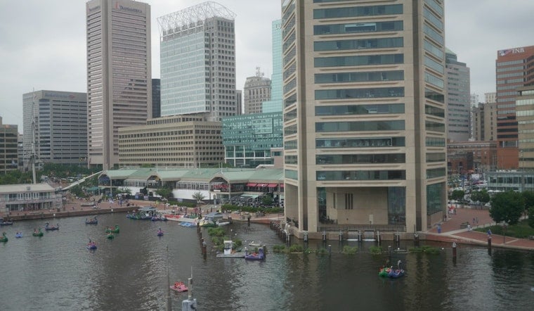
Baltimore wakes to sticky air Friday morning, with temperatures in the mid-70s and a brief break from overnight storms — but the respite is temporary. The city is headed for a 91-degree afternoon, with thunderstorms possible later and heat indices reaching the upper 90s to near 100.
Most of Friday should turn mostly sunny through early afternoon, with temperatures climbing through the 80s. The National Weather Service puts rain chances around 30%, but warns that storms could redevelop from afternoon into evening, with damaging wind a concern. No watches, warnings or advisories are in effect for Baltimore in the latest forecast.
The timing is the big wrinkle. Hoodline's earlier Baltimore forecast pointed to a stormy start and a cooler holiday weekend; Friday's update sharpens the focus on another round of potentially strong storms before the real cooldown arrives.
Saturday Brings A Noticeable Reset
Friday night stays unsettled, with a 40% chance of showers and thunderstorms and a low near 71. Saturday will be noticeably cooler, topping out near 84 with a slight chance of an early rain shower before partly sunny skies take over.
The weekend payoff arrives Sunday, when Baltimore should see mostly sunny skies and a high near 82, followed by a comfortable low around 64. Labor Day looks even cleaner: sunny, around 81 degrees and with no rain currently expected.
Warmth Builds Again By Midweek
Tuesday and Wednesday rebound into the mid-80s under mostly sunny skies, though humidity will gradually return. Thursday could reach 90 degrees, with a slight chance of showers or thunderstorms.
For Friday, outdoor plans are best handled earlier in the day if possible. Drink plenty of water, keep an eye on the sky during the afternoon and head indoors if thunder rolls in, since storms can become strong even when the overall rain chance is not especially high.




