

























































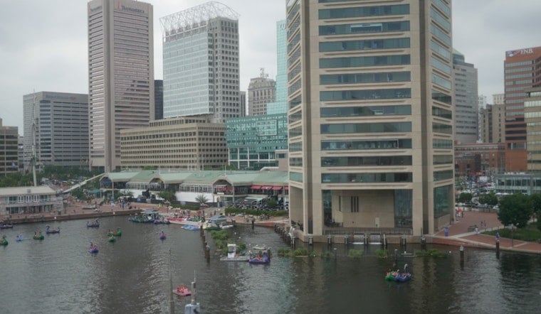
Baltimore starts Thursday with temperatures around 76 degrees, oppressive humidity and a forecast that could feel closer to 100 by afternoon. The city may get a brief break from the heat in the form of showers and thunderstorms, but the steamy pattern will hang on through Friday.
Storm Chances Build Through The Afternoon
Temperatures are expected to climb through the 80s before reaching a high near 94, with heat index values as high as 100. Isolated showers and thunderstorms are possible before 2 p.m., followed by a better chance of storms through the afternoon.
The National Weather Service Baltimore/Washington office says hot and humid conditions will persist through Friday, with storms capable of producing damaging wind gusts. Southwest winds of 5 to 9 mph will turn westerly later Thursday, according to the National Weather Service. According to Baltimore's Office of Sustainability, the city's Urban Heat Island Sensors initiative uses science-based analysis of heat vulnerabilities to inform heat-warning and heat-island efforts.
Friday Could Bring The More Active Storms
Friday will remain hot, with a high near 89 and a 55% chance of showers and thunderstorms. Showers are likely after 2 p.m. and mainly before 2 a.m.
Friday night temperatures should fall to around 72 degrees. With damaging winds a concern, residents should keep weather alerts enabled and move indoors promptly if thunderstorms approach.
Cooler, Drier Weather Arrives For Labor Day Weekend
The forecast takes a welcome turn Saturday, when mostly sunny skies and a high near 84 are expected. Sunday should be mild and dry, with highs in the low 80s, followed by mild and dry conditions on Labor Day.
Thunderstorm chances drop over the holiday weekend as conditions become increasingly stable. Warmer weather gradually returns next week, with temperatures rising by Tuesday.




