

























































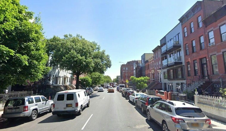
New York City transportation officials are moving to overhaul one of Brooklyn's busiest and slowest bus routes, proposing a redesign of DeKalb and Lafayette Avenues that would speed up B38 bus trips by 20 percent while stripping away daytime parking for car owners along the corridor. The plan threads through Fort Greene, Clinton Hill and Bedford-Stuyvesant, reshaping streets that have long served as key east-west connections for bus riders and cyclists moving through central Brooklyn.
The proposal, reported by the New York Daily News, is part of the Mamdani administration's broader Bus Action Plan and would convert much of the route to curbside and offset bus lanes alongside new protected bike lanes. Mike Flynn said the comprehensive redesign will speed up buses and improve reliability for the roughly 18,000 average daily riders who depend on the B38, according to the Daily News report. Weekday parking along DeKalb and Lafayette Avenues would disappear from 7 a.m. to 7 p.m., with the remaining parking lane shifted away from the curb to make room for the bus-only lane.
How the Redesign Breaks Down Block by Block
The changes vary by stretch. On DeKalb Avenue between Malcolm X Boulevard and Cumberland Street, the proposed redesign would remove one parking lane for a bus-only lane, move the other parking lane away from the curb, and create a protected bike lane while retaining one general traffic lane. Further along, the DeKalb segment between Cumberland Street and Flatbush Avenue would get a 24/7 bus lane offset from the curb, per the same Daily News account.
Lafayette Avenue's redesign runs in three distinct segments. Between Adelphi Street and Classon Avenue, the existing bike lane would be swapped with the remaining parking lane to make space for the bus lane. From Classon Avenue to Marcy Avenue, the street would lose one lane of private vehicular traffic entirely. And between Marcy Avenue and Patchen Avenue — a stretch with no existing bike lane — DOT would install a protected bike lane along the north curb and a bus-only lane along the south curb on weekdays from 7 a.m. to 7 p.m., the report states. Curbside bus lanes citywide on the corridor would revert to parking lanes overnight and on weekends, and the Marcy Avenue-to-Patchen Avenue stretch of Lafayette Avenue would remove all parking except during those overnight and weekend hours.
A Corridor Built for Riders Without Cars
The redesign targets a corridor where car ownership is notably low. Households within a quarter mile of the route reported not owning a car at elevated rates, according to DOT analysis cited in the Daily News piece. That reliance on transit lines up with broader demographic data: roughly 215,000 residents live within the DeKalb-Lafayette project area, where 18% live below the federal poverty line, 63% identify as Hispanic, Latino or non-white, and 9% live with a disability, according to a NYC Department of Transportation study from December 2024.
The safety case for the redesign is stark. That same DOT analysis found 858 traffic injuries along the DeKalb and Lafayette Avenue corridor over a recent five-year period, including 51 severe injuries or fatalities. And the bus speeds themselves tell their own story: B38 buses slow to as low as 4 mph along the corridor during peak hours, even though New York City buses citywide already average just 8 mph — the slowest of any major U.S. city, according to city data highlighted in a city transportation briefing.
A Proof of Concept From the 2024 G Train Shutdown
DOT isn't proposing this blind. The department points to a temporary bus lane installed on DeKalb and Lafayette Avenues during the Summer 2024 G train subway shutdown as a real-world trial that showed measurable gains in B38 bus speed and schedule reliability, per the department's December 2024 corridor study. Officials plan to brief the local community on the redesign through the end of September, with road changes slated for installation before winter, according to the Daily News.
The B38 itself runs along a corridor originally served by a 19th-century streetcar line between Downtown Brooklyn and Ridgewood, Queens, according to Wikipedia and MTA operational data. Under the MTA's draft Brooklyn Bus Network Redesign, the B38 Local and B38 Limited routes are set to be consolidated into a single B38 Local route, with average stop spacing expanding from 696 feet to 1,043 feet, according to MTA planning documents.
Part of a Bigger Bus Speed Push
The DeKalb-Lafayette redesign fits within a larger citywide effort. In July, Mayor Zohran Mamdani and Governor Kathy Hochul launched Next Stop: Fast Buses, Better Service, committing $254 million in expense funding and $628 million in capital funding over five years to upgrade 50 priority bus corridors, according to the Office of the Mayor. New York City's bus system serves about 1.4 million daily riders.
Enforcement is already underway on the B38 corridor. The MTA announced that Automated Camera Enforcement live fines began on September 11, 2026. Cameras mounted on buses capture drivers illegally parking or driving in bus lanes, with fines escalating from $50 up to $250 for repeat offenders, per the MTA's press release.
The project's schedule remains to be seen. The DeKalb-Lafayette project is part of a broader administration transit effort.



