

























































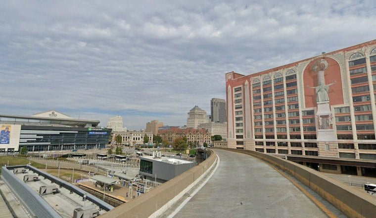
St. Louis was expected to see MVFR ceilings move back into local terminals overnight and early Friday, with patchy fog and increasing clouds. Temperatures should climb to about 76 degrees this afternoon, with light northeast winds keeping conditions comfortable rather than summery.
Clouds Keep The Weekend Cool
Patchy fog is expected to fade by 8 a.m., followed by mostly cloudy skies through Friday night and a low near 62. The National Weather Service expects the weekend to stay on the cooler, cloudier side, with Saturday reaching about 73 degrees and Saturday night dipping to 62.
Sunday brings a small improvement for outdoor plans, with partly sunny skies and a high near 76. Rain chances remain low at the St. Louis forecast point, though clouds will still be a recurring guest through much of the weekend.
Sunshine Arrives Monday Before Storms Build
Monday looks like the week’s cleanest weather day, with sunny skies and a high near 79. Tuesday is expected to be partly sunny and warmer, reaching about 81 degrees, with a slight chance of showers after 1 p.m.
The bigger change arrives Tuesday night into Wednesday, when showers and thunderstorms become likely and rain chances rise to about 60%. Wednesday should stay mostly cloudy with a high near 79, while Thursday remains unsettled with a roughly 50% chance of showers and thunderstorms.
No Watches Or Warnings Listed
No watches, warnings or advisories are listed for the St. Louis forecast area. For Friday morning, the main nuisance is patchy fog, so early drivers should allow a little extra time and expect visibility to vary briefly on local roads.





