

























































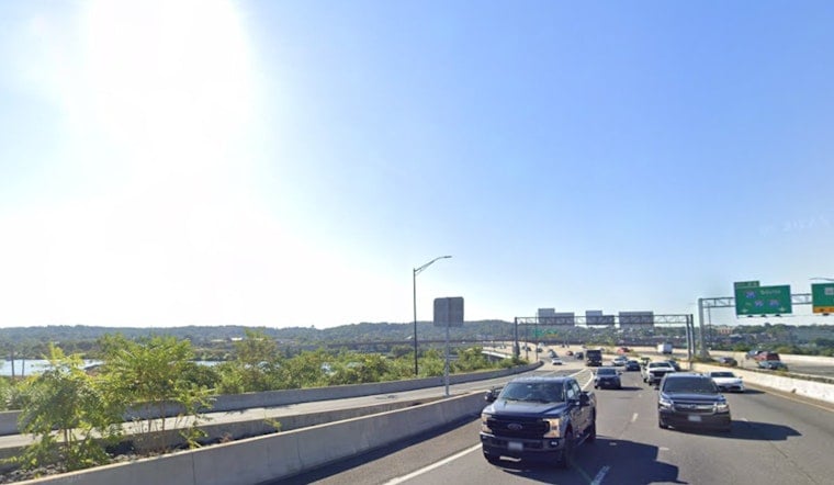
Washington woke Wednesday under clear skies and temperatures near 79 degrees, but the pleasant-looking start is a brief opening act. Humid air, afternoon thunderstorms and a sharp heat spike will shape the next several days across the District.
Storms Arrive Before The Heat Lets Up
Temperatures climb to near 89 Wednesday, with a 50% chance of showers and thunderstorms. A few showers could pop up before 8 a.m., then the more likely window arrives from 11 a.m. to 2 p.m., followed by scattered storms into the evening. The National Weather Service says multiple rounds are possible through Friday, with some storms capable of damaging winds.
Wednesday night remains unsettled, with a 70% chance of showers and thunderstorms and a low around 74. Rainfall totals could reach between a quarter-inch and half an inch, making evening plans vulnerable to sudden downpours and lightning.
Thursday Looks Hottest
Thursday brings the week's most oppressive heat, with mostly sunny skies, a high near 96 degrees and heat-index values as high as 107. Storm chances remain at 40%, so the hottest part of the day could still come with a few interruptions from showers or thunderstorms.
Friday eases only slightly, topping out near 92 degrees while the chance of showers and thunderstorms rises to 60%. The more active storm pattern is a substantial shift from Tuesday's earlier outlook, when the rain threat was lower, as Hoodline's previous forecast noted.
Weekend Brings A Reset
Relief arrives Saturday, when temperatures fall to about 86 under mostly sunny skies and the rain chance drops below 10%. Sunday looks even more comfortable, with sunshine and a high near 82, followed by a low around 64 Sunday night.
Labor Day Monday should stay mostly sunny with a high near 83 and only a slight chance of rain. The cooler, drier pattern should make the holiday weekend a far easier stretch for parks, patios and other outdoor plans than the stormy days leading into it.
For Wednesday through Friday, keep water nearby, take breaks from strenuous outdoor activity and move indoors as soon as thunder is heard. Storms can bring abrupt heavy rain and gusty winds even when the day begins with blue skies.




