

























































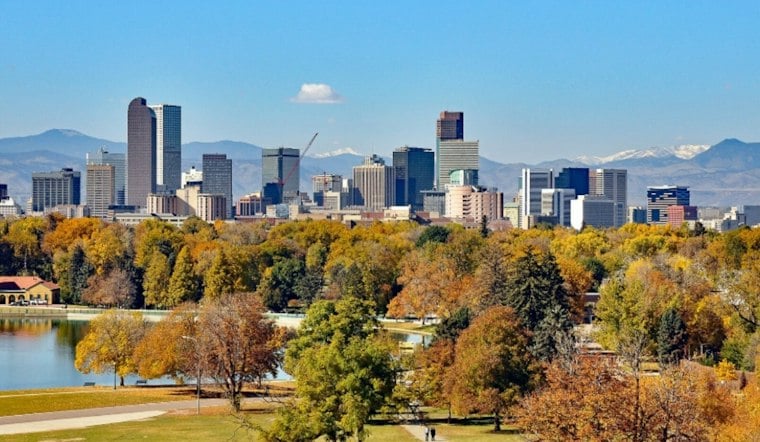
Denver is starting Tuesday, September 29, under denser low- to mid-level cloud cover, with ceilings lowering as a cold front moves through. Showers may pop up this afternoon as temperatures climb near 70, followed by a much wetter pattern Tuesday night and Wednesday. The biggest flood concern is south and southeast of the city, while rain totals around Denver remain uncertain.
Rain Chances Increase Tuesday Night
Tuesday afternoon and evening bring a 10% to 20% chance of showers, with little to no rainfall expected. Showers are likely Tuesday night.
Wednesday Looks Like The Wetter Day
Showers are likely before noon Wednesday, followed by more showers and thunderstorms through the afternoon. The high should reach 64 degrees.
A Flood Watch is in effect from late Tuesday night through Thursday morning for the southern Front Range Foothills, Palmer Divide, Elbert County and Lincoln County, according to the National Weather Service. Those areas could receive 1.5 to 3 inches of rain, with isolated spots potentially seeing more than 4 inches.
Denver Rain Totals Remain Uncertain
Denver is not included in the Flood Watch, but the weather service estimates a 50% to 60% chance that the city receives at least 1 inch of rain from late Tuesday through Thursday. The exact amount will depend on the track of the storm system, meaning some parts of the metro could get much more rain than others.
Anyone driving during the wetter periods should avoid flooded roads and low-lying areas, while outdoor plans should have an indoor backup. If thunder is heard, it is time to head inside—especially Wednesday afternoon.
Thursday Starts Damp Before A Sunny Turn
Thursday could bring showers, with a high near 63 degrees, as rain chances decrease late in the day; the nighttime low is expected around 32.
Warmer Weekend Is In Sight
Friday and Saturday look warmer, with highs of 75 and 79 degrees, respectively. A Saturday cold front should bring temperatures closer to normal on Sunday. The new flood watch and sharper rain concerns mark a substantial update to Hoodline’s earlier forecast, while warmer and drier conditions are expected over the weekend.





