

























































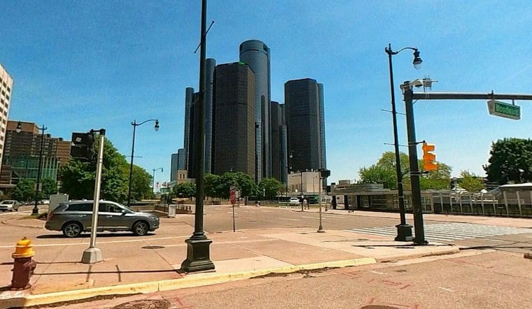
Detroit woke Saturday under cloudy skies in the low 60s, but the forecast is turning wet quickly. Showers are likely before 2 p.m., followed by a chance of thunderstorms. Outdoor plans face a soggy reset, with heavier rain possible at times.
Saturday Rain Builds Into A Stormy Night
Rain chances rise through late morning and early afternoon. Most areas could receive a quarter to half-inch of rain by Saturday evening, while a few spots may see more than an inch. No watches, warnings or advisories are currently posted for Detroit, according to the National Weather Service.
The more serious soaking may arrive Saturday night, when showers and thunderstorms are expected to continue and some storms could produce heavy rain. Localized overnight rainfall totals could exceed one inch, while weekend totals could range from one-half inch to two inches, with repeated downpours potentially causing ponding and localized urban flooding. That is a sharper overnight concern than the earlier weekend outlook described by Hoodline.
Sunday Starts With Showers Before A Cooldown
Sunday may begin with lingering showers before conditions turn mostly dry later in the day. Northeast winds will increase, while additional overnight rainfall could exceed one inch in localized areas. Conditions should turn drier and breezier later in the day.
Cool, Cloudy Weather Begins Next Week
Temperatures drop to around 53 Sunday night, with cool conditions and northeast winds continuing through Monday. Another round of rain showers is possible Tuesday night through Wednesday, with a smaller shower chance Thursday. By late week, Detroit could finally get a dry break.





