

























































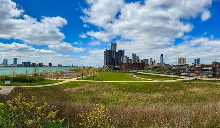
Detroit is waking up today under mostly cloudy skies with temperatures around 64 degrees, and the city is headed for a warm afternoon near 82. A brief chance of rain showers arrives between 10 a.m. and noon, but the bigger weather story is the sharp turn coming after the weekend. By Tuesday, showers and thunderstorms become a recurring possibility across the Motor City.
The latest outlook is a little cloudier and wetter than yesterday's Hoodline forecast, which leaned sunnier for today
Still, today's rain chance remains modest at about 20%, so most outdoor plans should have a decent window before the clouds take over.
Clouds Hang On As Temperatures Reach 82
This afternoon should stay mostly cloudy as south-southeast winds increase to between 3 and 10 mph. Temperatures peak near 82 before easing toward 80 later in the day, with no watches, warnings, or advisories posted for Detroit. A light jacket may be useful early, but the afternoon will feel warm and humid.
Sunday Brings Sun And A Sharper Cooldown
Tomorrow looks mostly sunny with a high near 80, though northwest winds could gust as high as 21 mph. The real cooldown arrives Sunday night, when temperatures drop to around 53 before Monday turns sunny and mild near 71. That makes Monday the calmest and coolest day in the near-term forecast.
Storm Chances Build Tuesday Through Thursday
Warm, humid air returns next Tuesday, pushing temperatures back near 83 while bringing a chance of showers and thunderstorms after 8 a.m. Rain and thunderstorms become more likely next Tuesday night, next Wednesday, and Wednesday night, with rain showers still likely next Thursday, according to the National Weather Service Detroit/Pontiac. Next Friday may finally offer a partial reset, with mostly sunny skies, a high near 76, and only a slight chance of showers.





