

























































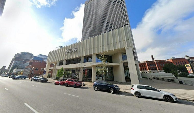
A new 3D-printed model of Downtown Louisville is now sitting in the lobby of 500W at 500 W. Jefferson Street, and unlike the static dioramas of decades past, this one is built to change. The model measures 12 feet by 8 feet and is rendered at a 1:70 scale, with every inch representing 70 feet of real city, stretching across roughly two square miles of the urban core.
The Louisville Downtown Partnership commissioned the piece, describing it as offering “a detailed, ever-evolving view of Downtown Louisville,” according to the Louisville Downtown Partnership. The organization also announced the unveiling directly, stating on its site that “LDP has officially unveiled the Downtown 3D Model.” As WHAS11 reports, the new model is designed to give developers and city leaders a way to visualize proposed projects within the existing cityscape.
What the Model Actually Covers
The footprint runs from 13th Street on the west to Shelby Street on the east, and from Jacob Street on the south up to the Ohio River, per the partnership. That range takes in the heart of Downtown’s commercial, residential, and riverfront districts in a single tabletop-sized rendering. The organization notes the new version expands the previous footprint of the Downtown area while allowing for sharper architectural detail than earlier methods, thanks to the 3D-printing process itself.
Work Architecture designed and printed the model, with support from the University of Louisville J.B. Speed School of Engineering’s 2024 Capstone program, the partnership says. The display table it sits on was built by Open Grain Woodwork, rounding out a project that blended architectural design, university engineering students, and local craftsmanship into one physical object now greeting visitors in the 500W lobby.
Built to Be Rebuilt
What sets this model apart from a typical scale replica is its intended lifespan. The partnership says that as new development projects are completed downtown, individual buildings or even entire city blocks will be reprinted and swapped into the model, keeping it current rather than letting it freeze the skyline in time. That’s a meaningful shift from the city’s last major attempt at this kind of tool.
Downtown Louisville’s first 3D model dates back to 1983, when it was hand-carved from wood and commissioned by the Louisville Central Area, according to the partnership. More than four decades later, 3D printing lets the new version get updated piece by piece instead of being carved anew whenever the skyline shifts.
Part of a Broader Digital-Twin Trend
Louisville’s physical model arrives alongside a broader movement in urban planning toward so-called digital twins — virtual or physical stand-ins for real cities that let planners test out change before it happens. Esri, the mapping and geographic information systems company, describes these immersive 3D models as tools that help planners visualize scenarios by integrating zoning and land-use information, according to an Esri overview. Downtown Phoenix has taken a fully digital approach, offering an interactive 3D model that lets users explore buildings, parcels, zoning, and development projects online, per DTPHX. Louisville’s version, by contrast, remains a physical, walk-up model anchored in a Downtown lobby rather than a browser tab.
For now, the model stands as a fixed point of reference for anyone who walks through 500W’s lobby and wants to see the two-square-mile stretch of Downtown laid out at a glance. As the partnership’s plan for periodic reprinting plays out, the model is meant to keep pace with whatever gets built next, block by block.





