

























































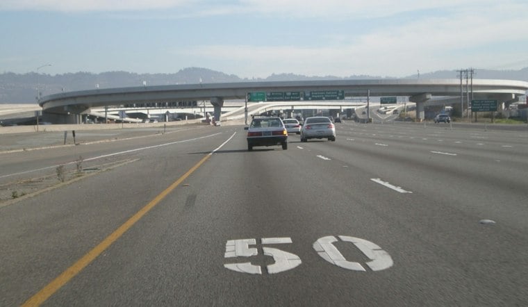
A fire near Floriston led the Nevada County Sheriff to issue an evacuation warning Wednesday and prompted the closure of westbound Interstate 80, according to News 4-Fox 11. Available updates have not established the fire's size, cause, potential damage, or how long the closure will last.
What We Know So Far
According to Caltrans HQ
The update said the Nevada County Sheriff issued an evacuation warning for zone NCO-379 in response to the fire near Floriston and that westbound I-80 traffic was closed. It urged residents to sign up for local emergency alerts and monitor road conditions as the situation develops, but did not specify the fire's size or cause or provide further details about the evacuation area.
Nevada County defines an evacuation warning as a notice of a potential threat to life or property, distinct from a mandatory evacuation order, as reported by Nevada County, California. Per the county's evacuation zone guidance, residents who need extra time to leave, along with those who have pets or livestock, are advised to begin preparing and moving early rather than waiting for conditions to worsen.
Preparedness and evacuation planning
The information cited here does not establish a specific wildfire-hazard classification for Floriston. According to the Nevada County Office of Emergency Services, the county provides educational materials to support emergency preparedness, and wildfire preparedness is a year-round effort whose priorities change with the seasons.
Conflicting Reports on Evacuation Status
A snippet on Nevada County's current incidents page says that all evacuation orders and warnings had been lifted and the area was safe to repopulate, according to Nevada County, California. The page does not establish when that status was posted or whether it applies to the Floriston fire, so it cannot be reconciled with the Caltrans HQ update describing an active warning.
Details on injuries, property damage, or structures threatened by the fire have not been verified. The exact duration of the westbound I-80 closure, along with any detour routes, also has not been confirmed.
Where to Check for Updates
Drivers can track real-time conditions along I-80 through the state's QuickMap tool, which displays traffic cameras, lane closures, and road conditions, as reported by California Department of Transportation. CAL FIRE's incident tracker also provides ongoing updates on fire activity across the region.
Motorists heading toward the Nevada County and Floriston area should check current conditions before traveling, given the closure on I-80 westbound and the unresolved status of the evacuation warning.



