

























































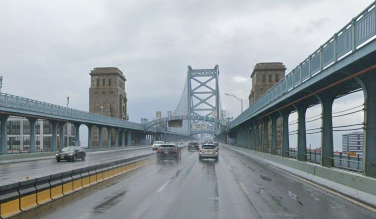
Philadelphia woke Wednesday to cloudy skies, patchy fog and temperatures around 72 degrees, but the city’s brief cool spell will not last. A warmer afternoon, overnight storms and a Thursday heat advisory are all lined up before a cooler, drier Labor Day weekend.
Fog should gradually thin through the morning, with mostly cloudy skies holding through the afternoon and a high near 80 degrees. A slight chance of showers arrives between noon and 4 p.m., while an easterly breeze stays light around 5 mph and rainfall totals remain minimal.
Storm Risk Builds Wednesday Night
Showers and thunderstorms become likely Wednesday night, with a 60% chance of precipitation and a low near 70 degrees. The National Weather Service says storm coverage and intensity remain uncertain, but stronger cells could bring damaging winds, hail, locally heavy rain and an isolated tornado.
Heavy downpours could also create localized flash flooding, especially if showers repeatedly move over the same area. Storm chances may be spotty, but the forecast is worth keeping in mind for evening commutes, outdoor dining and any Wednesday night plans.
Thursday Brings Heat Advisory And More Storms
Thursday will be the week’s most uncomfortable day, with a high near 92 degrees and heat-index values reaching 102. A Heat Advisory is in effect from 11 a.m. to 8 p.m. Thursday for Philadelphia and surrounding parts of southeastern Pennsylvania.
Showers and thunderstorms are also possible Thursday, mainly from the afternoon into the evening, with a 40% chance of rain. Forecasters say any stronger storms could produce damaging wind gusts, large hail or a few tornadoes, though the exact coverage remains uncertain.
Residents should drink plenty of fluids, use air conditioning when possible and avoid strenuous outdoor activity during the hottest part of the day. Lightweight clothing, shaded breaks and checking on older neighbors or relatives can help reduce the risk of heat illness.
Cooler, Drier Weekend Takes Shape
Friday stays warm but less oppressive, with partly sunny skies, a high near 87 and another chance of showers and thunderstorms after 2 p.m. Friday night’s low should fall to around 66 degrees as skies turn partly cloudy.
Saturday is forecast to be sunny with a high near 82, followed by a mostly sunny Sunday topping out around 79. Labor Day should remain mostly sunny and seasonable near 81 degrees, with lower humidity offering Philadelphia a much-needed break from the week’s heat and storms.
The new forecast is a notable shift from Tuesday’s hotter, stormier setup covered by Hoodline, with the focus now moving to Thursday’s heat risk and a more comfortable holiday weekend.





