

























































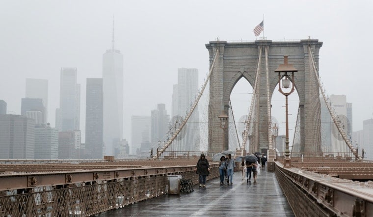
New York City is starting Tuesday, September 1, in a foggy, almost tropical-feeling haze, with temperatures around 71 degrees and humidity near 100%. The calm morning will not last: showers are possible early, followed by a stronger chance of thunderstorms later in the day.
Rain chances increase through the afternoon, with thunderstorms most likely between 2 and 5 p.m. and continuing into the evening. The National Weather Service in New York says some storms could be severe, particularly from late afternoon into early evening, while the city reaches a high near 82 degrees.
Storms Could Bring Heavy Downpours
Forecasters expect roughly a half-inch to three-quarters of an inch of rain, with locally heavier amounts possible in thunderstorms. The main concerns are brief flooding in poor-drainage areas, frequent lightning and gusty winds, so outdoor plans and evening commutes could get messy quickly.
The latest forecast lists no active watches or warnings, but isolated to scattered strong storms remain possible across New York City and the surrounding region. Morning fog and low clouds may also reduce visibility before conditions become more unsettled later Tuesday.
Quieter Weekend Follows A Wet Midweek
Wednesday should bring a relative lull, although a 40% chance of showers returns during the afternoon. More showers and thunderstorms are likely Wednesday night through Thursday, when temperatures climb into the mid-80s.
Conditions are expected to turn drier and less humid Friday, with mostly sunny skies and a high near 82 degrees. Saturday and Sunday look even better for outdoor plans, with sunny or mostly sunny skies and highs around 80 and 77 degrees, respectively.





