

























































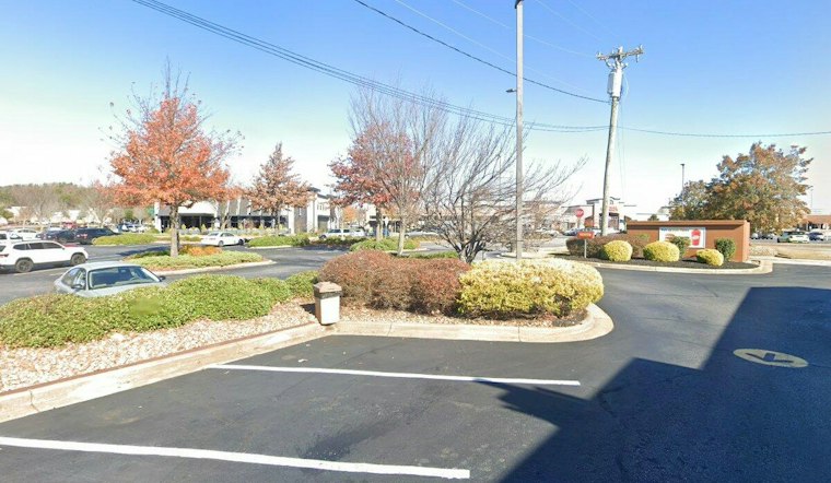
Greenville is waking to clear skies and temperatures near 64 degrees Wednesday morning, with a sunny and unusually warm day ahead. The temperature will climb into the mid-80s by afternoon, making for easy outdoor plans before the weather pattern turns unsettled this weekend.
Wednesday will stay dry from morning through evening, with a high near 86 and light east-southeast winds around 5 mph. The National Weather Service expects mostly clear skies tonight, with temperatures dropping to around 60.
Three Warm, Dry Days Ahead
Thursday will look much like Wednesday, with sunshine and a high near 87. Friday is expected to be the warmest day of the stretch, reaching about 89 degrees, although a few showers could develop near the mountains while most of the Greenville area remains dry.
Rain Arrives This Weekend
A front will move into the area Saturday, triggering widespread showers, with thunderstorms possible. The chance of rain is around 70%, and locally heavy downpours may occur as the front moves through the region.
Sunday brings the biggest weather shift, with rain showers likely, isolated thunderstorms possible, an 80% chance of precipitation and a much cooler high near 71. The unsettled weather could continue Sunday night, with temperatures falling to around 61 to 63.
Cooler Start To Next Week
A few showers may linger Monday, but conditions should turn drier later in the day as the high reaches about 73. Tuesday is forecast to be mostly clear, with below-normal temperatures.
No watches, warnings or advisories are in effect for the area. For outdoor plans, Friday looks like the last reliably warm and dry day before the weekend rain arrives.





