

























































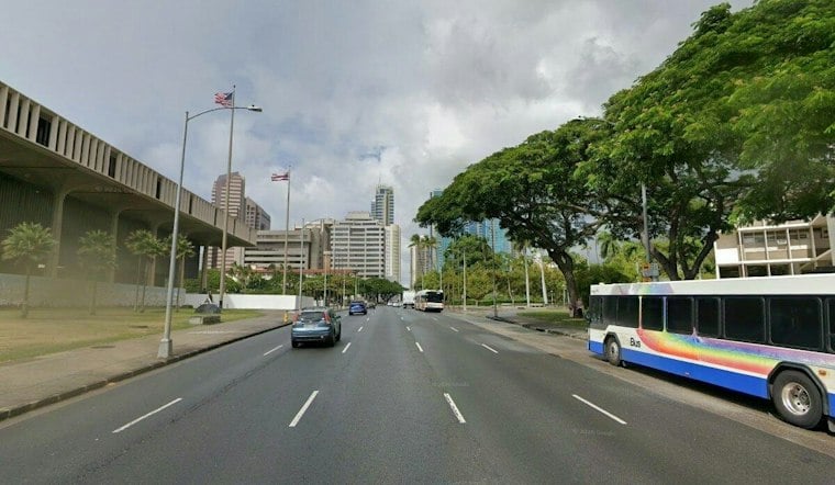
Honolulu is heading into a mostly sunny Sunday with light-to-moderate trade winds and only a small chance of a passing shower. The calm start will not last all week, though, as winds strengthen and rain chances rise from Tuesday into the weekend.
Sunny Start, Breezy Trade Winds
Sunday will bring mostly sunny skies and east-northeast winds of 8 to 14 mph, with gusts up to 18 mph. Monday looks nearly identical, with another high near 86 degrees and overnight lows in the mid-70s.
The National Weather Service in Honolulu expects drier trade winds early in the week, with most passing showers favoring windward areas. No watches, warnings or advisories are in effect for Honolulu.
Showers Increase By Midweek
Tuesday may bring a modest increase in clouds and showers. Wednesday may bring further increases in showers and stronger trade winds.
Rain is expected to increase from Wednesday night through Friday night, while trade winds strengthen through the latter half of the week.
Beach Conditions Shift Later This Week
South-facing surf should gradually fade through Monday before a new southwest swell builds Tuesday and Wednesday. A larger south-southwest swell is expected Friday into the weekend and could approach advisory levels, although the current forecast keeps it just below those thresholds.
East-facing shores are also expected to become rougher as the trade winds strengthen, while north-facing beaches should remain mostly flat to tiny. Sunday is the best bet for straightforward outdoor plans, but anyone heading windward or making beach plans later this week should be ready for quick showers and stronger gusts.



