

























































Honolulu is starting Friday near 77 degrees under partly cloudy skies, with gusty trade winds setting the tone for the day. Temperatures should climb to about 85 degrees before isolated morning showers give way to mostly sunny skies.
Trade Winds Keep Friday Moving
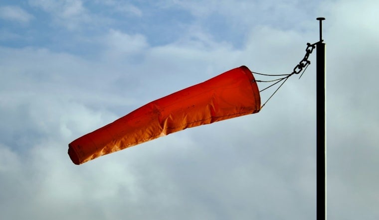
East-northeast winds will run 17 to 25 mph, with gusts reaching up to 36 mph, according to the National Weather Service Honolulu. Brief showers are most likely along windward and mountain areas, while leeward Honolulu should see longer dry stretches through the afternoon.
High Surf Advisory Runs Through Saturday Morning
A High Surf Advisory remains in effect through 6 a.m. Saturday for south- and east-facing shores, including Oahu. Breaking waves are expected to reach 7 to 10 feet along east-facing beaches and 8 to 12 feet along south-facing shores, with south shore surf potentially building to 10 to 14 feet by Saturday.
Strong breaking waves and currents will make swimming dangerous, and boaters should also expect rough conditions under a Small Craft Advisory covering Hawaiian waters through Saturday morning. Ocean safety officials are urging beachgoers to keep their distance from the water if conditions look rough.
Weekend Forecast Turns Wetter
Saturday stays warm near 86 degrees with isolated showers, but Sunday brings more widespread rain chances and mostly cloudy skies. Sunday night could bring scattered showers and thunderstorms, some with heavy rain, followed by a 50% chance of showers on Labor Day.
The National Weather Service is also watching Hurricane Lowell, which is expected to turn north near the islands early next week. Forecast impacts remain subject to change, but increasing humidity, heavy rainfall and dangerous surf are possible from Sunday into Tuesday, with preliminary statewide rainfall estimates ranging from 2 to 8 inches and locally higher totals in terrain-favored areas.



