

























































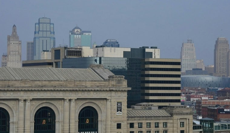
Kansas City starts Tuesday with clear skies and temperatures around 82 degrees, but the calm will not last. Showers are possible by late morning, thunderstorms become more likely late Tuesday, and heavy rain could create flooding problems across the metro through Wednesday.
Flood Watch Covers Tuesday Afternoon Through Wednesday
A Flood Watch is in effect from 1 p.m. Tuesday through 1 p.m. Wednesday for Kansas City and surrounding parts of northwest Missouri and northeast Kansas. The National Weather Service says repeated downpours could cause flooding in creeks, streams, low-lying areas and places with poor drainage.
Tuesday will stay warm, with temperatures around 80 degrees in northwest Missouri and northeast Kansas. Heat indexes of 100 to 105 degrees are possible mainly across central and southern Missouri. Rain chances rise through the afternoon, with afternoon and evening storms and isolated severe wind gusts possible. Rainfall totals of 2 to 3 inches are expected across northwest Missouri, though locally higher amounts are possible.
Storms Linger Into Wednesday Morning
Rain will linger Tuesday night into Wednesday morning, with rain-cooled temperatures in the 70s and 80s across northwest Missouri and northeast Kansas. Wednesday begins wet, with storms likely before 8 a.m. and a slight chance of additional showers through midmorning before skies turn partly sunny.
Wednesday’s rain will continue before tapering. Even as the rain tapers, the flood watch remains in effect into Wednesday afternoon, so drivers should avoid water-covered roads and give flooded low spots plenty of room.
Hotter Weather Returns Before A Stormy Weekend
Thursday and Friday look mostly sunny and hot, with highs near 91 degrees and only a small chance of showers. The next bigger weather change arrives Saturday, when thunderstorms become likely and temperatures drop to about 85 degrees.
Additional weekend precipitation is possible. Storm chances may continue through Monday evening before drying early to midweek.





