

























































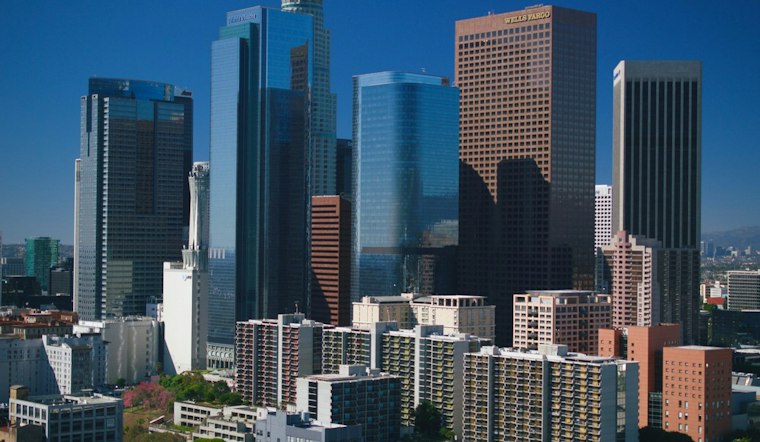
Downtown Los Angeles is waking up under a stubborn marine layer Tuesday, with temperatures near 69 degrees and a gray start giving way to an afternoon near 83. The tradeoff is more coastal fog tonight and Wednesday, but last week’s intense heat has backed off.
Afternoon Warmth Fades Into Evening Fog
The National Weather Service’s Los Angeles/Oxnard office says Tuesday will turn partly sunny after morning low clouds and slower clearing. South-southeast winds should stay around 5 to 10 mph, with a 30% chance of drizzle in the aviation discussion; a little drizzle is possible near foothills as the marine layer lifts, according to the National Weather Service.
Foggy Mornings, Cooler Midweek
Wednesday should look similar, with patchy fog before 11 a.m. and a mostly sunny high near 80. Thursday stays mild near 79 under mostly sunny skies, giving commuters and outdoor planners two cooler-than-recent days before temperatures begin edging up again.
Sunny Weekend Without Another Heat Wave
Friday through Sunday are forecast to be sunny, with highs around 82 to 83 and overnight lows in the low to mid-60s. Monday should see increased marine-layer clouds and a few degrees of cooling as a weak upper low affects the area, making the week ahead look more like steady late-summer warmth than a repeat of the heat advisory covered in earlier Hoodline coverage.
What To Know For Early Plans
Morning low clouds and fog may reduce visibility near the coast and linger longer than usual Tuesday and Wednesday, while Downtown should warm quickly once skies open. No land-based watches or warnings are listed for the area, though boaters should note that a Small Craft Advisory remains in effect on some outer waters until 9 a.m. Tuesday, according to the National Weather Service.





