

























































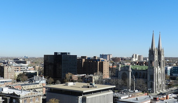
Denver's late-summer heat is sticking around for the holiday weekend, with clear skies and temperatures climbing toward the mid-90s Friday. The forecast stays mostly dry through Saturday before afternoon showers, and thunderstorm chances become more noticeable Sunday and Labor Day.
The National Weather Service expects a high near 95 degrees Friday, with a slight chance of showers and thunderstorms after 3 p.m. Winds should remain light at 3 to 8 mph, generally from the southeast, and any new rainfall is expected to be less than a tenth of an inch.
Saturday Stays Hot And Mostly Dry
Saturday will be partly sunny with a high near 92 and a nighttime low around 65. Winds will be light, shifting to the northwest during the day, while the chance of rain remains low.
Storm Chances Build Sunday And Labor Day
Sunday brings another warm afternoon, with a high near 91 and a 30% chance of showers and thunderstorms beginning around midday. The bigger shift arrives Monday, when showers and thunderstorms are likely after noon, despite another high near 91.
Monday night's forecast calls for a chance of additional showers and thunderstorms before midnight, followed by mostly cloudy skies. No watches, warnings, or advisories are currently posted for the Denver area.
Warm Weather Lingers Into Next Week
Temperatures ease only slightly Tuesday through Thursday, with highs ranging from about 88 to 90 degrees. Each day carries at least an isolated chance of afternoon showers and thunderstorms, while overnight lows settle in the low to mid-60s.
For outdoor plans, the best odds for a dry stretch remain Friday and Saturday morning. Hydration, sunscreen, and a quick look at the sky before afternoon hikes, games, or patio time will be useful as moisture and storm chances increase Sunday and Monday.





.jpg)