

























































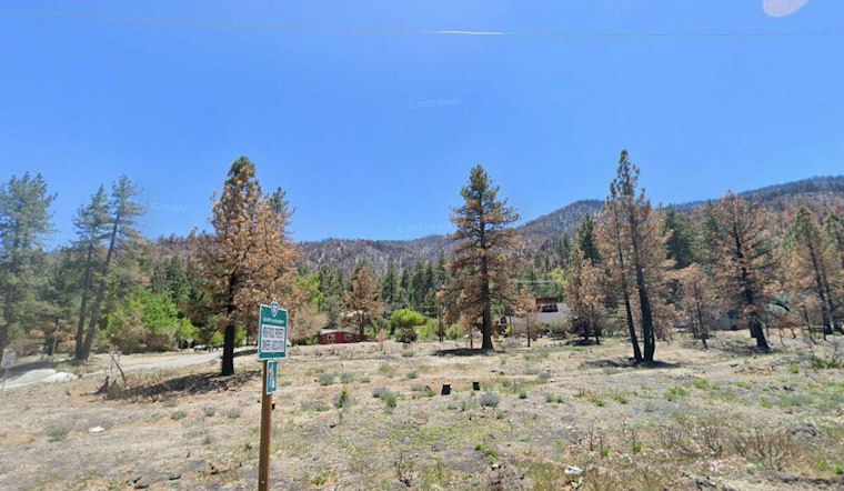
A new wildfire dubbed the Hitchcock Fire was first discovered at 10:56 a.m. Friday burning on federal land managed by the U.S. Forest Service in San Bernardino County. Containment and cause remain unknown as crews respond to the blaze.
The fire's discovery was reported by the Sacramento Bee, which cited the National Interagency Fire Center as the source of the report. The Bee's article was originally published Friday at 1:17 p.m., attributed to the outlet's automated wildfire tracking system. Beyond the initial ignition details, the size of the fire, its exact location, and whether any structures are threatened have not yet been reported.
Where the Fire Is Burning
The Hitchcock Fire is burning on federal land managed by the U.S. Forest Service in San Bernardino County. The county's mountain terrain rises from valley floors near San Bernardino to subalpine peaks, terrain that has historically fueled fast-moving, wind-driven fires.
The name itself likely draws on local geography. In San Bernardino County, the “Hitchcock” designation in mountain areas has historically been tied to features including Hitchcock Meadow and Hitchcock Ranch, near the former site of the Holcomb Valley Scout Reservation north of Big Bear Lake, per historical context published in the Federal Register. Wildland fires on federal land are typically named for nearby topographic markers, historic ranches, or canyons, though the exact location tied to this particular ignition has not been confirmed.
Multiple Fires Reported Same Day
The Hitchcock Fire was not the only wildfire flagged in the county Friday. It was one of several concurrent blazes reported in San Bernardino County, alongside initial reports for the Wilshire Fire, Mission Fire, and a fire identified only as FA-CA-CDD-011474, according to the San Luis Obispo Tribune. The cluster of simultaneous reports illustrates the kind of dispatch strain that can arise when multiple wildland ignitions surface in the same county on the same day.
Response to fires on federal forest land in California runs through the California Master Cooperative Wildland Fire Management and Stafford Act Response Agreement, an interagency pact recently updated to cover 2026 through 2031 between CAL FIRE, the U.S. Forest Service, the Bureau of Land Management, and other federal agencies, according to the USDA Forest Service Pacific Southwest Region. That agreement is designed to let the nearest available state and federal resources respond regardless of property boundaries, which matters when a fire ignites, as this one did, on federal ground bordering county and private land.
National Resources Currently Available
Nationally, wildland firefighting demand has eased somewhat compared to the height of summer. The National Interagency Fire Center set the National Wildfire Preparedness Level at 2 on a 5-point scale as of Monday, down from Level 5 in late August, indicating moderate rather than maximum strain on hotshot crews and equipment distributed across the country. Even so, year-to-date fire activity remains elevated: as of Friday, NIFC reported 57,087 wildfires nationwide that have burned 8,559,888 acres, exceeding 10-year historical averages for both the number of ignitions and total acreage.
Other Regional Fires
San Bernardino County has recent, painful experience with major mountain wildfires on this same national forest. In September 2024, the arson-caused Line Fire burned 43,978 acres of brush and timber across the San Bernardino National Forest, forcing widespread evacuations of mountain communities before reaching full containment that December, according to the San Bernardino County Fire Protection District.
In response to that kind of risk, the county has tightened its wildfire regulations. The county's Board of Supervisors adopted Ordinance No. 4489 in June 2025, designating updated Fire Hazard Severity Zones in local responsibility areas based on recommendations from the California Office of the State Fire Marshal. San Bernardino County also enforces a Fire Safety Overlay Zone under its Development Code, requiring fuel modification plans and strict safety standards for development in high-hazard wildfire areas, per the Governor's Office of Land Use and Climate Innovation. State law further requires property owners in designated Very High Fire Hazard Severity Zones to maintain a 100-foot defensible space around structures and disclose fire hazard designations when selling property, according to the Rialto Fire Department.
The Hitchcock Fire adds to a string of wildland fires reported in San Bernardino County this year, including a blaze reported on Pine Tree Road in Pinyon Hills in August. As of Friday afternoon, the cause of the Hitchcock Fire remained undetermined and its containment status unknown.





