

























































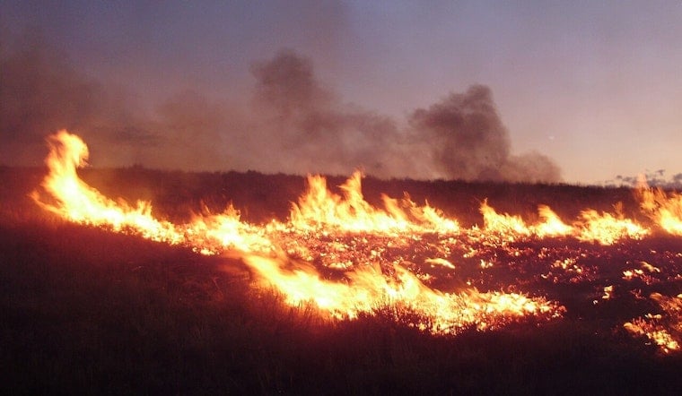
A new wildfire dubbed the Scenic Fire broke out on private land in Kern County on Friday night, burning for at least two hours before an update was issued shortly before 10:20 p.m. No information on the fire's cause or its containment level had been released as of that update.
According to the Sacramento Bee, the fire was first reported at approximately 7:15 p.m. Saturday in Kern County, with details drawn from the National Interagency Fire Center. The report, published just after 10 p.m. and updated minutes later, did not specify how large the fire had grown or whether any structures were threatened.
Labor Day Weekend Brought Elevated Fire Risk
The Scenic Fire's ignition comes as CAL FIRE had already issued statewide warnings ahead of the Labor Day weekend, cautioning that high temperatures and low humidity were driving elevated wildfire danger across California. The agency urged residents to avoid activities that could spark outdoor ignitions during the holiday, a period that typically sees a jump in recreational activity in rural and wildland areas.
Those warnings followed a broader pattern this fire season. Through late August, combined state and federal data tracked by CAL FIRE recorded 5,118 wildland fires statewide that had burned 302,226 acres in 2026 — notably lower than the 425,680 acres burned over the same stretch in 2025. Still, as CalMatters has reported, California's relatively quiet start to the season, compared with a five-year average of nearly 5,300 fires and 300,000 acres burned by midsummer, gave way to elevated risk once late-summer heatwaves set in and dried out vegetation.
Jurisdiction and Alerts in Kern County
Because the Scenic Fire is burning on private land, its suppression could fall under either Local Responsibility Areas managed by local agencies or State Responsibility Areas overseen by CAL FIRE, depending on the property's exact designation, per the Kern County Fire Department. Properties within State Responsibility Areas are subject to state vegetation management rules meant to reduce fire risk on private land.
Kern County residents facing wildfire threats are typically notified through Genasys Protect, the emergency alert platform the county fire department adopted in August 2023 to divide Kern County into standardized evacuation zones. The system replaced older, informal neighborhood-based descriptions with zone codes designed to speed up localized hazard alerts during fast-moving incidents.
A County With Recent Fire History
The Scenic Fire is the latest in a string of blazes to hit Kern County this year. Just a month earlier, the Buzzard Fire ignited near I-5, ballooning to 180 acres in under two hours and forcing evacuations around Lebec while shutting down lanes of southbound Interstate 5.
Kern County has also seen far more destructive fires in recent years. The Borel Fire in July 2024 burned 59,288 acres near Lake Isabella and destroyed 223 structures, making it the largest wildfire in the county's recorded history, according to KVPR. That fire was ignited by a fatal traffic collision on Highway 178.
To cover more than 8,000 square miles of territory, the Kern County Fire Department relies on 47 fire stations and frequently deploys specialized strike teams for mutual aid across the state. Major wildland fire operations in the county routinely bring the department into unified command alongside CAL FIRE and federal agencies such as the U.S. Forest Service, allowing local, state, and federal teams to share air assets and ground crews during large-scale incidents.
No containment percentage, acreage estimate, or cause determination for the Scenic Fire had been made public as of the latest update. Hoodline will continue to follow developments as more information becomes available.





