

























































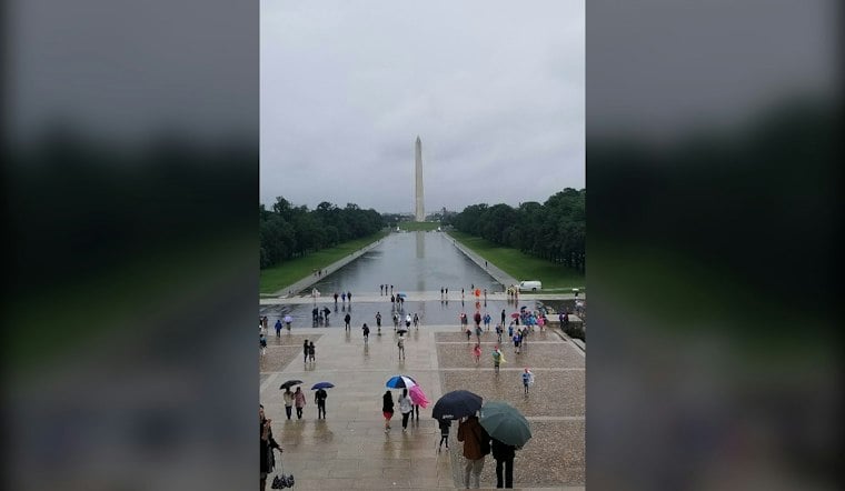
Washington is starting Sunday, September 27, with light rain, cloudy skies and a sharp northwest wind that will keep the District feeling more like November than late September. Showers are likely through the afternoon, with temperatures struggling to rise much beyond 65 degrees and wind gusts reaching 30 mph or more. It is not a disastrous washout, but outdoor plans will need a rain jacket and a little patience.
The National Weather Service Baltimore/Washington office says a coastal storm system, commonly known as a nor’easter, will keep showers moving into the region through Sunday evening. The latest forecast is a notable turn from the outlook published Friday by Hoodline, with rain chances now running around 60% for Sunday and stronger winds expected. Rainfall in the District should generally stay below a quarter-inch, according to the National Weather Service.
Showers And Gusty Winds Dominate Sunday
Rain chances increase from the late morning into the afternoon, when temperatures should hover in the lower 60s before reaching a high near 65. Northwest winds will run roughly 13 to 18 mph, with gusts as high as 32 mph, making umbrellas a particularly fussy choice for anyone crossing an exposed block or heading toward the waterfront.
Showers should become less frequent Sunday night, though a few could linger before 3 a.m. Monday. The low will settle near 59 degrees, with northwest gusts still potentially reaching around 30 mph.
Coastal Flooding Remains A Concern Nearby
The District has no current watches, warnings or advisories listed in the forecast package, but coastal flood advisories remain in effect for parts of Maryland and Virginia. Forecasters say water levels remain difficult to predict around the Chesapeake Bay, with the greatest concern focused outside the city near vulnerable shoreline communities.
Warmer Weather Returns By Midweek
Monday should be mostly cloudy but considerably calmer, with a high near 70 and only a minimal rain chance. Tuesday turns partly sunny and reaches about 75, followed by mostly sunny skies and highs near 79 Wednesday.
Thursday is expected to be the warmest day of the stretch, with mostly sunny skies and a high near 83. The next rain chances appear Friday afternoon and Saturday afternoon, but both currently look limited compared with Sunday’s unsettled weather.



