

























































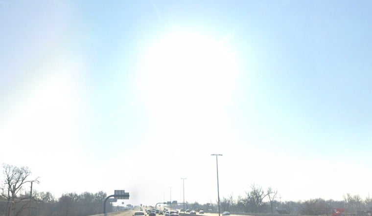
Wednesday's calm start will not last. The city is headed for another triple-digit afternoon, with storms arriving later Wednesday night before a much cooler, wetter Thursday.
Heat Peaks Wednesday Afternoon
Sunny skies will push temperatures to about 100 degrees Wednesday, while the heat index could reach 106 in Oklahoma City. A Heat Advisory runs from noon to 7 p.m. Wednesday, September 9, 2026, with the broader advisory area facing heat-index values as high as 109, according to the National Weather Service.
Scattered storms are expected mainly across western and northern Oklahoma during the afternoon, with a scattered convective mess along or near the front, but most of the day should remain hot and dry. Storms and the front may produce gusty or erratic winds during the afternoon, adding another challenge for people working or exercising outdoors.
Storms Arrive Before Thursday Cooldown
Wednesday night brings a 40% chance of showers and thunderstorms, with a low near 75 degrees. Scattered storms are expected to spread southward overnight, and some could produce gusty winds, especially farther north.
Thursday will feel cooler by comparison, with lingering showers. Rain could continue at several points from the morning into the afternoon, offering a sharp break from the week’s heat.
Heat Returns By The Weekend
The cooler air will be temporary, with a weekend rebound into the 90s to lower 100s and only limited rain chances most days.
The shift is a substantial update from Hoodline’s earlier heat outlook, which focused largely on a long stretch of near-100-degree weather. For Wednesday, residents should drink plenty of fluids, limit time in the afternoon sun and check on older adults, neighbors and pets.





