

























































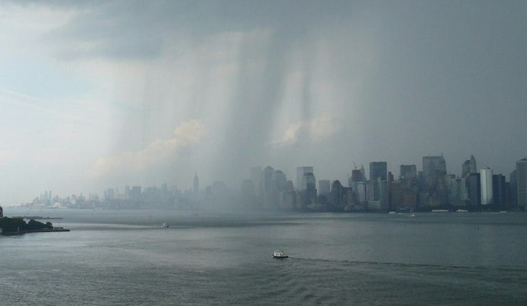
Rain and brisk winds are making for a soggy start across New York City Monday, with coastal neighborhoods facing an added flood risk before the weather finally turns a corner. Temperatures are hovering near 60 degrees early, and the city could see another half-inch to three-quarters of an inch of rain before the system moves out.
Rain Lingers Through Early Afternoon
Showers are expected to continue through about 2 p.m., with a high near 66 degrees and temperatures slipping into the mid-60s during the afternoon. Gusts could reach around 25 mph, keeping things feeling cooler, while rain lingers through the morning and into midday, according to the National Weather Service.
The storm is weakening, but early winds could still be strong enough to make exposed bridges, waterfront paths and open streets uncomfortable. Rain should become more scattered after lunchtime and pull out by early evening, leaving mostly cloudy skies Monday night and a low around 60.
Coastal Flood Advisory Covers Waterfront Areas
A Coastal Flood Advisory remains in effect until 2 p.m. for Manhattan, Brooklyn and Staten Island. Up to 1 foot of water may cover vulnerable waterfront areas, including low-lying roads, parking lots, parks and properties near the shoreline.
Drivers should allow extra time, avoid flooded streets and never go around barricades or through water of unknown depth. The advisory is focused on minor flooding, but even a few inches of water can create trouble in the city’s lowest-lying coastal spots.
Sunshine Returns Before A Late-Week Warmup
Tuesday brings a much-needed reset, with mostly sunny skies and a high near 71 degrees. Wednesday should reach about 74, followed by mostly sunny conditions and highs near 77 Thursday and 78 Friday.
For now, the forecast points to a warmer, brighter stretch after Monday’s rain finally clears.




