

























































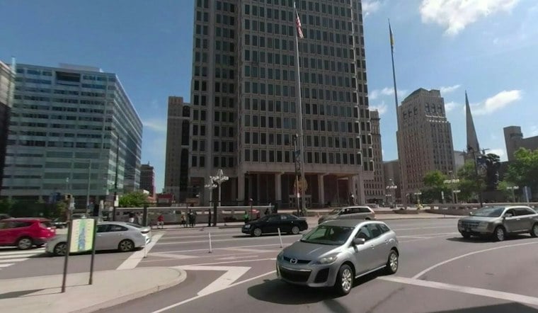
Rain is settling over Philadelphia Tuesday morning, with temperatures around 60 degrees and wet weather expected to hang on for much of the day. The city will struggle to reach the mid-60s, making this a decidedly cool start to a week that looks more like October than late September.
According to the National Weather Service in Mount Holly, rain showers are likely through the afternoon, with the best chance of steadier rain around midday and early afternoon. Northeast winds near 10 mph could gust to 25 mph.
Rain Tapers Tuesday Evening
Showers should gradually become less frequent late Tuesday, with only a chance of rain before 8 p.m. Tuesday night will remain mostly cloudy and cooler, with temperatures dropping to about 56 degrees and northeast winds increasing to 10 to 15 mph.
Slick roads, reduced visibility and gusty conditions could still make for a slower evening commute. The latest outlook is a wetter update to Hoodline's earlier Philadelphia forecast.
Cool, Breezy Weather Takes Over
Wednesday should be mostly cloudy but generally dry in Philadelphia, with a high near 65, a 30% chance of showers and breezy northeast flow. Thursday brings a chance of showers and a high around 66, though the persistent breeze will keep conditions feeling cooler than the calendar suggests.
Rain chances return modestly Friday and Saturday, with Friday's high forecast at 69 degrees. Sunday looks mostly sunny with a high near 71, followed by a mostly sunny Monday near 72.
Rough Conditions Expected At The Shore
Philadelphians heading toward the Jersey Shore or Delaware beaches should expect a more serious situation outside the city. The National Weather Service says dangerous rip currents, high surf, beach erosion and multiple rounds of tidal flooding are possible through the end of the week.





