

























































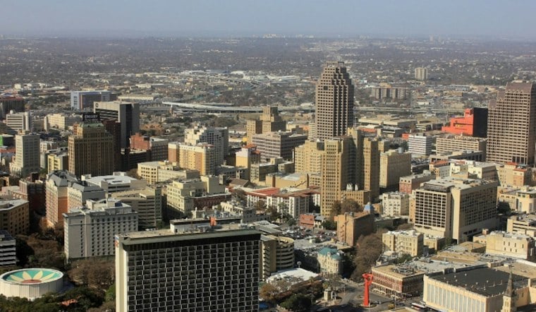
By Wednesday afternoon, San Antonio was under mostly cloudy skies, with temperatures expected to climb to around 96 degrees. At San Antonio International Airport, it was 88 degrees with a heat index of 96 at 12:51 p.m. The heat index could reach 107, while a 30% chance of showers and thunderstorms is forecast mainly after 4 p.m.; south-southeast winds could gust to 25 mph. The National Weather Service’s current conditions and forecast list those observations and afternoon conditions.
Afternoon Heat Gives Way To Storm Chances
Showers and thunderstorms have a 50% chance of developing tonight, mainly after 1 a.m. Temperatures are forecast to fall to around 78 degrees, with southeast winds around 15 mph and gusts as high as 30 mph. New rainfall amounts are expected to be less than a tenth of an inch, except higher amounts in thunderstorms, the National Weather Service forecast says.
Flood Watch Covers Wednesday Evening Through Friday
A Flood Watch is in effect across San Antonio and much of South Central Texas from Wednesday evening through Friday evening. Forecasters warn that widespread rainfall of 2 to 4 inches is possible, with isolated totals near 8 inches, creating a risk of life-threatening flooding in low-lying areas, urban locations and near creeks and streams.
A slow-moving Pacific front is expected to help spread storms across South Central Texas, while deep moisture raises the risk of heavy downpours. The National Weather Service’s forecast discussion says the front could stall, allowing storms to linger for hours; the Weather Prediction Center has placed parts of the Hill Country and I-35 corridor in a Level 3 of 4 excessive-rainfall risk Thursday and Thursday night.
Residents in flood-prone areas should monitor later forecasts and be ready to act if warnings are issued. Drivers should never attempt to cross flooded roads or low-water crossings, even if the water appears shallow.
The flooded-road warning is especially important because water can be deeper and faster-moving than it appears. The National Weather Service says 12 inches of rushing water can carry away most cars, and more than half of flood-related drownings involve someone driving into hazardous floodwater. A flooded crossing should be treated as impassable, not tested.
Thursday And Friday Look Like The Wettest Days
Thursday will be cooler, with a high near 88 and a 90% chance of showers and thunderstorms. The rain threat rises further Thursday night, when the forecast calls for a 100% chance of precipitation and warns that some storms could produce heavy rain.
Friday could bring another round of widespread storms, with a high near 82 and a 90% chance of showers and thunderstorms. Additional flooding may become possible if Thursday's rainfall saturates the ground before more storms arrive, according to the current National Weather Service forecast.
Rain Lingers Through The Weekend Before A Brief Break
Showers and thunderstorms remain possible Saturday and Sunday, with highs near 82 and rain chances around 50% each day. The unsettled pattern should finally ease Monday, when skies turn mostly sunny and the high reaches about 81.
Tuesday looks calmer and mostly sunny, with a high near 83 and an overnight low around 66. Until then, the combination of heat, heavy rain and repeated thunderstorms will make this a week to keep weather alerts close at hand. The National Weather Service forecast lists Tuesday’s high near 83.





