

























































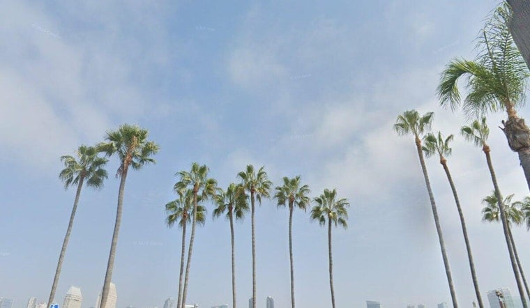
San Diego is starting Labor Day with clear skies, but the afternoon will bring mostly sunny skies, gusty northwest winds and a high near 88. The bigger concern remains along the coast, where powerful surf and dangerous currents are expected through Tuesday night.
Heat Builds Monday With Gusty Afternoon Winds
Temperatures will climb Monday, with a high near 88. Exposed areas could feel noticeably breezier in the afternoon even as the city heats up.
The National Weather Service says a High Surf Advisory and Coastal Flood Advisory remain in effect through 11 p.m. Tuesday. Breaking waves of 4 to 7 feet, with sets reaching 10 feet, are expected at south- and southwest-facing beaches.
Dangerous Surf And Evening Coastal Flooding
Strong rip and longshore currents will make swimming and surfing hazardous, while high evening tides could cause minor flooding in coastal lots, parks and roads. At La Jolla, high evening tides could cause minor flooding, while isolated road closures and beach erosion are possible.
People heading to the shoreline should avoid driving around barricades or through water of unknown depth. The latest advisory also warns against driving around barricades or through water of unknown depth.
Warm Through Wednesday Then A Noticeable Cooldown
Tuesday should stay mostly sunny with another high near 88 and lighter north winds. Wednesday remains warm near 88, with a slight chance of afternoon showers and thunderstorms mainly over the mountains and adjacent deserts.
San Diego then trends cooler and drier later in the week. The latest forecast follows earlier coverage of the holiday-weekend swell, with the current outlook extending the coastal hazards through Tuesday night.





