

























































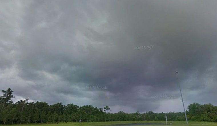
Jacksonville is waking up to clear skies and muggy air Sunday, but the calm will not last. Temperatures will climb toward 92 degrees before afternoon showers and thunderstorms move in, with dangerous heat and locally strong storms on the table.
The National Weather Service Jacksonville office expects the first shower chances after 1 p.m., followed by the best odds for thunderstorms during the afternoon and early evening. The strongest storms could bring frequent lightning, torrential downpours and wind gusts of 40 to 50 mph, especially near the I-95 corridor.
Sunday Heat Peaks Before Storms
The heat index may reach about 103 degrees in Jacksonville before storms begin to cool things down. Rain chances are around 40%, with most locations forecast to receive roughly a tenth to a quarter-inch, although isolated downpours could produce as much as 3 inches and temporary flooding in urban areas or places with poor drainage.
Storm chances will continue into Sunday night before tapering off ahead of a partly cloudy Monday. Jacksonville could reach 93 degrees Monday, with another heat index near 103, but the better storm chances should remain south of the I-10 corridor and mainly arrive late in the afternoon.
Breezier, Cooler Pattern Arrives Tuesday
The bigger shift arrives Tuesday, when temperatures ease to around 89 degrees and northeast winds become noticeably stronger. Showers and thunderstorms will have about a 50% chance of developing, with breezy conditions continuing Tuesday night and into Wednesday.
Wednesday and Thursday should be cooler, with highs near 86 degrees, but the tradeoff will be persistent northeast winds and recurring shower and thunderstorm chances. The National Weather Service says small craft advisory conditions are expected on local waters Tuesday through Thursday, while a high rip-current risk is likely along area beaches.
Beach And Boating Plans Need Extra Caution
Swimmers should stay near lifeguards, avoid entering the water when thunderstorms approach and treat the surf as increasingly dangerous later in the week. Boaters should also prepare for rougher seas and stronger winds, even though no watches, warnings or advisories are currently listed for Jacksonville.
The unsettled stretch is a sharper update from Hoodline's Friday forecast, with the focus now shifting from another hot storm day to a breezier coastal pattern beginning Tuesday. The latest outlook is available from NWS Jacksonville.





