

























































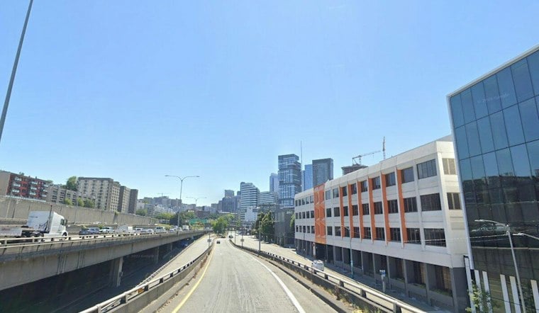
Seattle will get one more mild, sunny day Thursday before temperatures ease back over the weekend. The National Weather Service forecast calls for clear skies early, a sunny afternoon near 73 degrees and a north wind around 7 mph, with no daytime rain expected. Any patchy fog in outlying areas should dissipate quickly.
Thursday's warmth is typical for the date
The forecast high is close to Seattle-Tacoma Airport's long-term benchmark for Sept. 17. The National Weather Service climate report lists a normal maximum of 72 degrees, so Thursday's projected 73 would be about as typical as an early-fall afternoon gets. That comparison uses the standard 30-year framework; the National Centers for Environmental Information says the current normals are based on daily observations from 1991 through 2020.
The day also falls well inside Seattle's historical range for the date. According to the Seattle-Tacoma climate report, Sept. 17's record high is 85 degrees, set in 1991, while the record low is 41 degrees, set in 1947. A high near 73 would therefore be roughly 12 degrees below the record and 32 degrees above the record low—not an extreme in either direction.
Shorter days will sharpen the morning chill
Thursday's mild afternoon will be paired with a cooler night, when temperatures are expected to fall toward the mid-50s. The seasonal contrast is also appearing in the amount of daylight: the National Weather Service lists sunrise at 6:50 a.m. and sunset at 7:17 p.m. PDT on Sept. 17, or 12 hours and 27 minutes of daylight. The timing reflects the continuing loss of daylight as fall approaches, but it does not by itself indicate an unusually early seasonal change.
Friday should be a modest step cooler, near 71 degrees, with possible morning clouds before afternoon sunshine. The weekend is expected to remain dry and seasonable: Saturday near 70 and Sunday near 69, with overnight lows in the low to mid-50s. Early next week may bring a more noticeable shift, with a slight chance of light rain after early Tuesday morning and highs near 67 Tuesday and Wednesday, according to the National Weather Service Seattle/Tacoma forecast discussion. No watches or warnings are in effect.





