

























































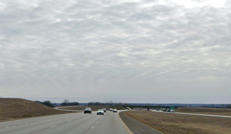
Kansas City could see a few showers after 5 p.m., with repeated rounds of rain and thunderstorms becoming more likely Tuesday night through Thursday.
Warm Tuesday Brings Evening Shower Chances
Tuesday’s high is expected to reach about 82 degrees, with south-southeast winds of 6 to 12 mph and gusts up to 21 mph. The chance of rain remains modest during the day, then showers and thunderstorms could develop Tuesday night.
Heavy Rain Risk Builds Wednesday Night
Wednesday will stay mostly cloudy with a high near 81, as continued rounds of storms are expected Wednesday into Thursday.
Thursday is currently shaping up as a rainy day, with showers and thunderstorms likely throughout the day. The National Weather Service says several rounds of rain from Tuesday through Thursday night could create flooding concerns across parts of the region.
Flood Watch Covers Parts Of Region
A flood watch is set to begin late Tuesday night and continue through late Thursday night for portions of northwest Missouri and extreme northeastern Kansas. Kansas City-area residents should keep an eye on local alerts, especially if storms repeatedly move over the same neighborhoods, and avoid driving through water-covered roads.
Cooler, Drier Weekend Follows
Rain chances ease Friday, although a few showers could linger before 1 p.m. as temperatures fall to around 65 degrees. The weekend looks much more manageable, with highs in the mid 60s to mid 70s through early next week.





