

























































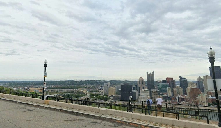
Pittsburgh is starting Monday with light rain, temperatures in the low 60s and a damp, gray outlook. Showers and thunderstorms are expected to continue across the region, with northeast winds adding to the chill.
The high is expected to reach about 65 degrees, while rain chances remain high through the afternoon and evening. Winds will be from the northeast.
Flood Watch Runs Through Monday Morning
A Flood Watch remains in effect through noon Monday, according to the National Weather Service. The watch signals an elevated risk of flooding along creeks, streams and other low-lying areas.
The heaviest rain threat is expected south of Pittsburgh, but localized flooding remains possible across the metro area. Drivers should avoid water-covered roads and turn around rather than risk becoming stranded in rising water.
Why heavy rain can overwhelm drainage
In parts of Pittsburgh, heavy rain can also put pressure on combined sewer systems. The Allegheny County Sanitary Authority, or ALCOSAN, says a combined sewer overflow occurs when stormwater and untreated, diluted sewage in a single pipe overload the system and flow into rivers and streams.
More Showers Before A Cooler Midweek
Showers and thunderstorms are expected to continue Monday night, with temperatures falling to around 57 degrees. Tuesday and Wednesday are expected to remain cloudy and wet.
Thursday brings another chance for showers before conditions begin to improve, with the outlook extending into the weekend.
The current watch and timing are based on the latest National Weather Service information. A prior Pittsburgh forecast from Hoodline provides earlier context on the rain threat, while this update focuses on the current flood risk and safety concerns.



