

























































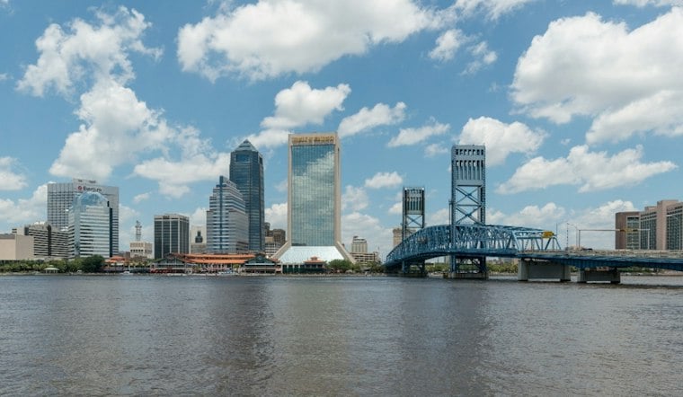
Jacksonville is starting Monday with mostly cloudy skies, sticky air and temperatures in the mid-70s. The city could reach 88 degrees, but showers and thunderstorms are expected to become more likely from late morning through the afternoon. Gusty winds and brief heavy downpours could complicate outdoor plans before a cooler pattern arrives later this week.
Monday Storms Could Bring Lightning And Gusts
The National Weather Service Jacksonville is calling for scattered showers and thunderstorms Monday, with showers possible before noon and thunderstorms more likely during the afternoon. Inland wind gusts could reach 35 to 45 mph, especially west of Interstate 95, where stronger storms may also produce frequent lightning and small hail.
Slow-moving storms could also cause localized flooding, mainly inland. Jacksonville currently has no watches, warnings or advisories listed, but drivers should be ready for sudden downpours, reduced visibility and water collecting on roads.
Tuesday Stays Warm Before A Midweek Shift
Tuesday will remain hot, with a high near 89 degrees and a 60% chance of showers and thunderstorms. Scattered showers and thunderstorms are possible, especially inland, with storm chances rising during the afternoon and evening.
Wednesday brings increasing showers and isolated thunderstorms. Northeasterly winds will begin strengthening late Wednesday as a front moves through, setting up a noticeably breezier stretch near the coast and the St. Johns River.
Cooler Weather Arrives With Beach Hazards
A cooler pattern is expected late in the week.
The cooler forecast comes with rougher coastal conditions. A high risk for rip currents is expected at area beaches from Thursday through at least Saturday, with rough surf; minor flooding around high tide is also possible along the Atlantic coast and within the St. Johns River basin.
The late-week change follows a forecast covered in an earlier Hoodline Jacksonville outlook, but the newest update sharpens the timing for the stronger northeast winds and coastal hazards. For Monday, the practical plan is simple: expect heat, humidity and storm interruptions before the air finally starts acting a little more like fall.





