

























































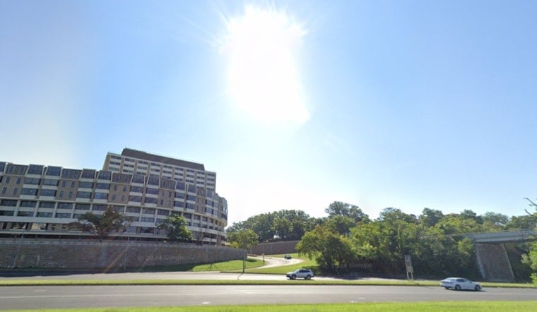
Washington is starting Sunday with clear skies and temperatures around 68 degrees, setting up a much calmer day than the stormy stretch that preceded the holiday weekend. Sunshine will carry the District into the afternoon, with a high near 85 and a light north wind.
The National Weather Service expects dry, lower-humidity conditions Sunday and Monday, with only a small chance of rain today. Skies may turn partly cloudy Sunday night, but the overnight low should settle near 65 degrees, according to the National Weather Service.
Labor Day Stays Mostly Sunny
Monday will remain mostly sunny and seasonable, with a high near 84 degrees and an east wind around 5 mph. Monday night should be partly cloudy and noticeably cooler, with temperatures dipping to about 63 degrees.
Tuesday brings another sunny day with a high near 86, while Wednesday begins the week’s warmup in earnest. Mostly sunny skies and a high near 89 are expected Wednesday, with a warmer overnight low around 73.
Thursday Brings Heat And Storm Chances
Thursday is currently projected to be the hottest day of the week, with a high near 90 degrees before a chance of showers and thunderstorms arrives after 2 p.m. The rain chance is about 40%, and storms could continue into Thursday night as temperatures fall to around 67 degrees.
The pattern is a substantial shift from the earlier Hoodline forecast, which focused on late-week heat and storms ahead of the holiday weekend. Conditions should turn drier again Friday, with mostly sunny skies and a high near 82, followed by a sunny Saturday near 84 degrees.
No watches, warnings or advisories are posted for Washington, D.C. The best outdoor window is Sunday through Tuesday, before heat builds and storm chances return Thursday afternoon.





