

























































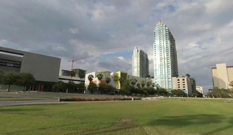
Tampa starts Wednesday under cloudy to partly sunny skies, with sticky air and temperatures in the mid-70s, but the calm will not last all day. Scattered showers and thunderstorms are expected after 2 p.m., with the city reaching a high near 89 degrees before the usual Florida afternoon plot twist.
According to the National Weather Service, rain chances will reach about 40% Wednesday as east-southeast winds stay light at 2 to 7 mph. Any storms could bring heavy downpours and lightning.
Wednesday Evening Outlook
Scattered showers and thunderstorms are possible Wednesday, while skies turn mostly cloudy and temperatures fall to around 74 degrees.
No watches, warnings or advisories are listed for Tampa or the surrounding Gulf waters. Still, anyone hearing thunder should move indoors, and drivers may encounter sudden downpours during the afternoon and evening commute.
Friday Looks Like The Wettest Stretch
Thursday brings another hot day, with mostly sunny skies early and a high near 90; scattered to numerous showers and storms are expected each afternoon starting Thursday. Rain chances are 60% Thursday daytime and 30% Thursday night, then 40% Friday, when scattered showers and thunderstorms are possible after 2 p.m.
The unsettled pattern continues through the weekend, with a 70% storm chance Saturday and storms possible Sunday. Both days should reach about 90 degrees. The pattern continues Monday, with a slight cooldown expected by Tuesday as higher rain chances continue.
Gulf Winds Build Thursday And Friday
Boaters should also watch the eastern Gulf, where southeast winds are expected to reach 15 to 20 knots beginning Thursday and continuing through Saturday. Seas could build to around 4 feet, with small-craft caution conditions possible as storms add another layer of rough weather.





