

























































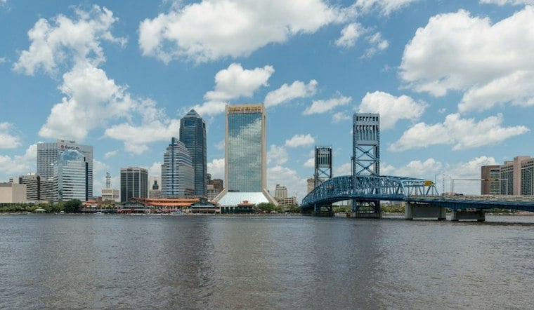
Jacksonville began Saturday with patches of mid- and high-level cloud cover and temperatures and dewpoints in the upper 60s and lower 70s as of 08Z. Afternoon warmth will push the city near 90 degrees, while inland neighborhoods run a little hotter and coastal areas stay closer to the upper 80s. The bigger change arrives after the weekend, when storm chances rise sharply through Tuesday.
Saturday Stays Mostly Sunny With A Few Storms
Saturday will be partly sunny, with a slight chance of showers and thunderstorms this afternoon and early evening. Rain chances are around 20%, while northeast winds will bring weaker onshore flow. Heat index values may approach 100 degrees during the afternoon.
Storms that do form are more favored inland, especially west of U.S. 301. The strongest cells could produce downburst gusts of 35 to 45 mph, frequent lightning and possibly small hail, according to the National Weather Service Jacksonville forecast.
Beachgoers should also account for a moderate rip-current risk continuing along area beaches. The National Weather Service recommends using lifeguarded areas and checking local conditions before entering the water.
Sunday Through Tuesday Turn Wetter
Sunday brings a 50% chance of showers and thunderstorms with a high near 89, followed by a wetter Monday with a 60% chance and a high near 88. Showers and storms could deliver locally heavy downpours as the sea breeze pushes farther inland.
Tuesday brings a 70% chance of showers and thunderstorms with a high near 88. That sharper storm sequence is a substantive update from Hoodline's earlier forecast, which focused on Saturday's heat and the broader storm turn later in the week.
Breezier Finish For The Week
Wednesday remains unsettled, with showers likely and a high near 87 degrees. Thursday and Friday trend a little cooler, with more scattered showers late in the week.
Onshore winds are expected to strengthen late Wednesday, potentially bringing small-craft-advisory conditions offshore and a high rip-current risk late next week. Beach and boating plans may need another weather check as the week unfolds.





