

























































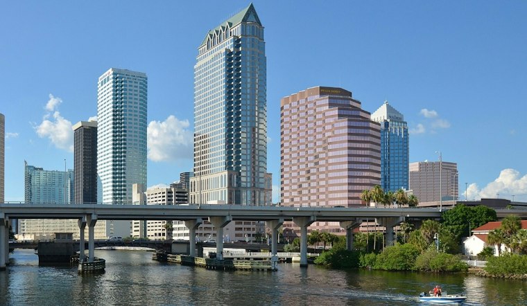
Tampa starts Thursday under clear skies and comfortable mid-70s temperatures before a mostly sunny afternoon pushes the mercury near 89 degrees. Rain chances stay minimal for the city, giving outdoor plans a relatively easy weather window before the weekend turns much wetter.
The National Weather Service expects northeast winds of 9 to 14 mph, with gusts reaching 21 mph. Thursday’s rain chance is about 10%, while tonight should remain mostly clear with a low around 74.
Storm Chances Start Rising Friday
Friday will be hotter, with a high near 90. Scattered to numerous showers and thunderstorms could develop south of Interstate 4 on Friday, with a 40% chance of rain and a few brief downpours possible.
Saturday brings a sharper shift, with a 70% chance of showers and thunderstorms after 2 p.m. The high should reach about 90 degrees, while Sunday looks unsettled, with numerous to widespread thunderstorms possible during the weekend and early next week.
Wet Pattern Lingers Into Next Week
The unsettled stretch is expected to continue into the first half of next week, with storm coverage and rain totals expected to rise. Storms will generally develop over the peninsula during the morning and early afternoon before shifting west toward Tampa later in the day.
Boaters Face Rougher Conditions
For boaters, east and northeast winds will remain gusty enough for a Small Craft Advisory across Tampa Bay and nearby Gulf waters through 2 a.m. Friday. No land-based watches, warnings or advisories are listed for the Tampa area, but thunderstorms later this weekend could still bring locally higher winds and rough seas.





