

























































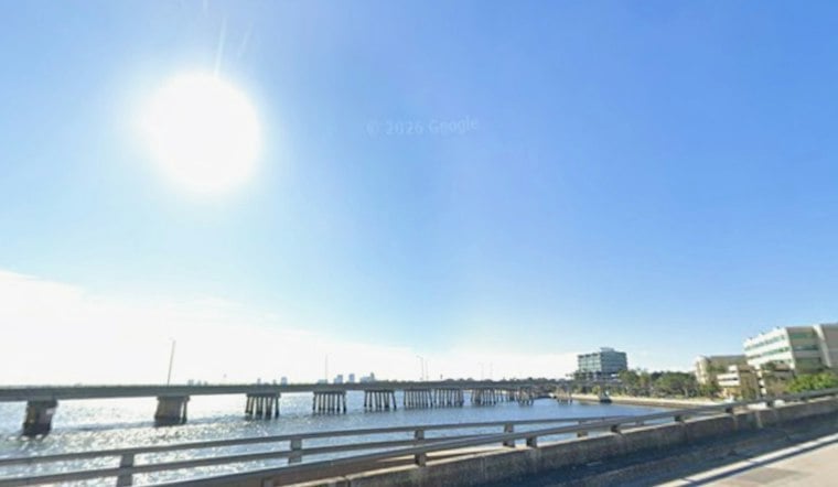
Tampa starts Saturday with clear skies, sticky air and temperatures near 78 degrees, but the calm will not last. The city is headed toward a high near 92, with the heat index reaching about 103 before scattered showers and thunderstorms become more likely after noon.
Storm Chances Rise After Noon
The latest forecast puts Tampa’s rain chance at 50% Saturday, with storms most likely during the afternoon and early evening. A storm could drop between a tenth and a quarter-inch of rain, along with lightning, brief heavy downpours and sudden gusts, while south-southwest winds remain light at 2 to 6 mph.
The outlook has shifted from an earlier, wetter weekend projection. Hoodline’s Thursday forecast called for an 80% chance of rain Saturday, while the latest National Weather Service forecast now shows a lower but still meaningful storm chance.
Slow-Moving Storms Could Bring Flooding
Sunday and Monday stay hot, with highs near 91 and 92 degrees and heat indexes around 102. Storm chances climb to 50% Sunday and 70% Monday, and the National Weather Service says slow-moving storms could increase the risk of localized flooding, especially where downpours linger over the same area.
Winds Pick Up Midweek
Tuesday remains mostly sunny early before a 70% chance of afternoon and evening storms. By Wednesday, temperatures ease slightly to around 90 degrees, but east-northeast winds increase to 9 to 16 mph with gusts up to 25 mph, with another 60% chance of showers and thunderstorms.
Thursday and Friday continue the warm, unsettled pattern, with highs near 90 and 91 degrees and storm chances around 60%. No watches, warnings or advisories are listed in the current forecast, but anyone heading outside should have a lightning-safe indoor option and take the heat seriously during the afternoon.





