

























































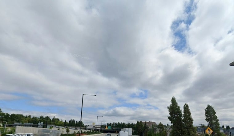
Seattle woke to cloudy skies and temperatures around 55 degrees Friday morning, but the quiet start will not last. Showers and possible thunderstorms are expected through the afternoon, with gusty winds adding another wrinkle before the region settles into a cooler, drier weekend.
Showers And Thunderstorms Through Friday Afternoon
Rain and scattered showers will continue Friday, with thunderstorms possible from the morning into the late afternoon. The high should reach about 62 degrees before temperatures slip into the upper 50s, while rainfall totals could reach a quarter to half an inch, according to the National Weather Service Seattle.
Gusty Winds In Parts Of The Region
Seattle-area winds are expected to rise from the southwest, with gusts up to around 22 mph in the city. Stronger gusts of 35 to 45 mph are possible in advisory areas south of Seattle, along the Strait of Juan de Fuca and near Whidbey Island, where branches could come down and isolated power outages are possible.
The wind advisories run from late morning into the afternoon or evening, depending on location. People with outdoor plans should secure loose items and allow extra time for a potentially messy Friday commute.
A Dry Weekend Brings Cooler Mornings
Showers should fade Friday evening, followed by mostly clear skies and a low near 49 degrees overnight. Saturday will be partly sunny with a high around 62, while Sunday looks mostly sunny and slightly warmer near 63, though colder spots could dip into the upper 30s in the morning.
The calm stretch may be brief. Monday should remain partly sunny near 64 degrees, but rain chances increase Monday night and become more likely Tuesday, when another cloudy, damp day is expected.



