

























































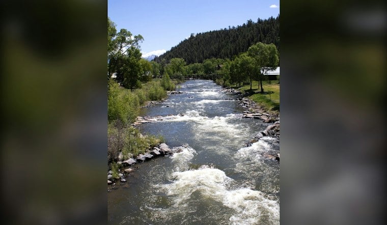
The Archuleta County Sheriff's Office ordered immediate evacuations Thursday afternoon for low-lying and flood-prone areas along the San Juan, Rio Blanco, Navajo and Piedra rivers, warning that rising water levels and swift currents could put anyone who stays behind beyond the reach of rescuers. The order took effect at 2:24 p.m. as storms moved across southwestern Colorado, with forecasters warning of flooding, flash flooding and even severe thunderstorms capable of producing damaging winds and large hail.
Sheriff Issues Immediate Evacuation Order
According to Pagosa Daily Post, the sheriff's office ordered the immediate evacuation of low-lying areas along the San Juan River and its tributaries as of 2:24 p.m. Thursday. Officials cautioned that emergency services might be unable to reach those who choose not to evacuate, a warning that underscores just how quickly conditions along the rivers could deteriorate. The order applies to all low-lying and flood-prone areas along the San Juan, Rio Blanco, Navajo and Piedra rivers, as confirmed in a separate report from the Pagosa Sun.
Per the Pagosa Sun's report, officials said river levels were rising and that potential flooding was expected in those same low-lying and flood-prone stretches. The warning specifically flagged localized flooding, submerged riverbanks and unsafe swift-water conditions as the dangers residents should avoid. Anyone who evacuates has been told to check in at the Archuleta County Department of Human Services at 550 Hot Springs Blvd., Unit A, in Pagosa Springs, where officials are coordinating shelter information for displaced residents.
Archuleta County officials described the flood threat as extreme and urged residents to take immediate action, according to The Denver Post. The accompanying evacuation alert urged residents to leave immediately, warning that the danger was imminent and life-threatening. Sandbags were available at the Archuleta County Building and at the TARA Community Center in Arboles, the Pagosa Sun reported.
Storm System Spreads Flood Threat Across the Region
The evacuation order came as a storm system dumped heavy rain across southwestern Colorado, with forecasters calling for 1 to 3 inches region-wide and up to 2 to 4 inches possible in the South San Juan Mountains and adjacent valleys between Wednesday and Friday morning, according to the Durango Herald. A National Weather Service meteorologist cited by the outlet identified flooding and flash flooding as the main hazard posed by the system. The same report noted that evacuations could be ordered separately if Vallecito Creek reached a flow of 4,000 cubic feet per second.
The Denver Post reported that the National Weather Service issued a broad slate of warnings Thursday, including flash flood warnings for Archuleta, Montrose and San Miguel counties until 3:30 p.m., and flood warnings for Archuleta, Hinsdale, La Plata, Ouray, San Juan and San Miguel counties lasting until midnight.
The Durango Herald reported that forecasters warned of possible damaging winds, large hail and a brief tornado, and that a regional flood watch was in effect. Heavy rain on already saturated ground could trigger rockslides or mudslides in steep terrain.
The urgency behind this week's order is rooted in what happened almost exactly a year earlier. Flooding in October 2025 pounded both Vallecito in La Plata County and Pagosa Springs in Archuleta County, according to CBS News Colorado. That event saw the San Juan River overflow through the entirety of downtown Pagosa Springs and damage at least 90 homes in Vallecito, with mandatory evacuations ordered on the south side of San Juan River Village. The Colorado Sun reported that the San Juan River near Pagosa Springs reached its highest level since 1970 at 12.6 feet, while more than 390 homes in La Plata County were evacuated and Vallecito Creek was estimated to be flowing at close to 7,000 cubic feet per second — well above the 4,000 cfs threshold now being watched this week.


