

























































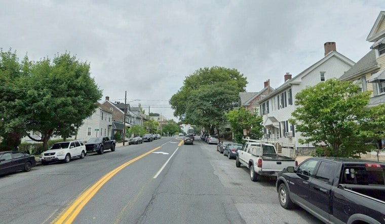
Bethlehem officials have unveiled a plan to overhaul how the city’s streets work for everyone who uses them, from drivers to wheelchair users to kids biking to school. Mayor J. William Reynolds and Planning and Zoning Director Cathy Fletcher rolled out the Complete Streets Plan on October 22 at the Coalition for Appropriate Transportation’s headquarters on West Walnut Street, laying out a roadmap of crosswalk upgrades, bike lanes and transit connections the city says could guide decisions for years to come.
The plan’s goal, according to The Brown and White, is to rethink how the city’s streets serve the people who use them. Reynolds said the streets need to work for drivers, pedestrians, cyclists and people with disabilities alike, framing the effort as a shift away from a car-only mindset toward one that treats every mode of travel as a priority. Fletcher, Bethlehem’s director of planning and zoning, helped lead the rollout alongside the mayor.
To figure out where to focus first, the city leaned on crash data, street conditions and resident feedback to pinpoint high-priority corridors, the newspaper reports. Separately, WFMZ reports that designers pulled PennDOT crash data to identify exactly which corridors needed the most attention. The city also built what officials call a high-injury network, a map identifying streets where crashes causing serious or fatal injuries happen more often, so planners could prioritize where limited dollars go first.
Which Streets Are First in Line
The plan names five priority corridors: Broad Street East and West, Center Street, Linden Street, Stefko Boulevard and what the city calls the South Side Safety Project, per the same account from The Brown and White. Stefko Boulevard is getting immediate attention, while the Broad Street corridor project is already moving forward with proposed curb extensions, bicycle infrastructure, renovated crosswalks and improved access to bus stops.
On the South Side, the city is examining a cluster of streets as a connected transportation network rather than treating each block in isolation, and officials are considering preliminary engineering to study how changes there could ripple across the surrounding grid. Planners say they are weighing sidewalk accessibility and public transportation access as part of that broader look. The city has already installed curb extensions near Third and Fourth streets, and notes that Main Street currently has just one travel lane in each direction.
What Could Actually Get Built
Potential treatments across the priority list include curb extensions to shorten crossing distances, more visible crosswalks, bicycle lanes and better connections between routes, the plan states. PennDOT resurfacing work will also fold in low-cost Complete Streets touches, including restriping and pavement-marking upgrades along Linden Street and New Street. City officials say the final shape of any project will depend on street width, nearby buildings and other physical constraints unique to each block.
Funding is uneven across the list. Some projects already have money behind them, while others will need additional engineering, grants or city resources before they can move forward, the city says. Several projects are expected to advance in 2027, though the city has not released a project-by-project construction schedule or cost breakdown.
Bikes, Trails and a Long Runway
Beyond the five priority corridors, the city plans to push forward on the Monocacy Way Trail, a planned connection linking northern neighborhoods to the historic downtown along Monocacy Creek, and to keep developing its broader bicycle network. City officials say they are working with community partners on bike rides and other efforts to see firsthand how the current network functions for riders.
Scott Slingerland, director of the Coalition for Appropriate Transportation, a local nonprofit that advocates for safer walking and biking infrastructure across the Lehigh Valley, sat on the plan’s steering committee as it took shape. Bethlehem City Councilwoman Hillary Kwiatek, who also served on the steering committee and lives on the city’s West Side, said she hopes cycling becomes a realistic option for more Bethlehem residents. Kwiatek identified 2035 as the plan’s target year for its full vision to come together.
City officials describe the process as one that combined hard crash data with feedback from people who actually use Bethlehem’s streets every day. The city has published the plan’s interactive data, maps and high-injury network findings on the We Build Bethlehem website, giving residents a way to see how their own block fits into the broader priority list. Whether every proposed treatment gets built remains an open question, since many of the improvements are described only as potential or proposed pending future funding.





