

























































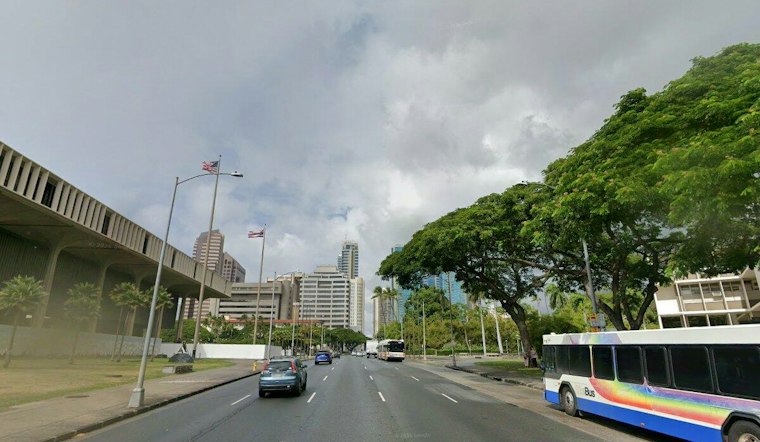
Honolulu is waking up to cloudy skies Friday, with scattered showers in the mix and a warm afternoon high near 84 degrees. Light to moderate trade flow is expected, and umbrellas may get more attention than usual around town.
Clouds And Brief Showers Lead Friday
The National Weather Service expects scattered showers through the day, with most new rainfall amounts staying below a tenth of an inch, according to the National Weather Service Honolulu forecast. The pattern should be more noticeable in windward and higher-elevation areas, while leeward Honolulu gets breaks of partly sunny weather.
Friday night turns partly cloudy with isolated showers and a low around 75. Trade breezes will be calm to very light.
Halloween Looks Mostly Sunny With A Few Pop-Up Showers
Saturday should bring partly cloudy skies leeward and mostly cloudy conditions windward, with a high near 83 and isolated showers. Northeast winds around 13 mph could make exposed spots feel breezy, but the forecast favors quick hits rather than a washout for daytime Halloween plans.
Saturday night remains partly cloudy with a low near 75 and infrequent isolated showers. Any passing shower is expected to be infrequent and short-lived, with the highest chances along windward exposures.
Stronger Winds Arrive Sunday Into Next Week
Scattered showers are forecast Sunday, with a high near 82. Northeast winds across the region are forecast at 15 to 25 mph. A weak front is expected to move across the islands late Sunday into early Monday, bringing drier air and a noticeable increase in north-northeast winds.
Monday and Tuesday highs are forecast between 80 and 85, while next week is expected to bring generally quiet trade weather with infrequent showers. Regional winds are forecast at 15 to 25 mph Monday and Tuesday, with strengthened northerly winds and a stout north-northeast breeze expected next week, so beachgoers, boaters and anyone with loose outdoor items should plan for a much breezier stretch.
North And West Shore Surf Could Build
A larger northwest swell is expected to arrive late Saturday and could push surf along north and exposed west shores above advisory levels Sunday into Monday. No watches, warnings or advisories are currently in effect, but coastal conditions may become more active as the swell and stronger winds arrive.




