

























































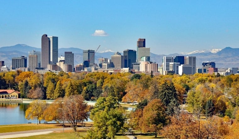
The Denver area is in line for one more unusually warm day before fall finally gets serious. Sunshine will push the temperature to about 81 degrees, while southwest winds add a breezy edge to the holiday.
Afternoon Warmth Comes With A Breezy Edge
Monday afternoon should stay sunny and dry. Southwest wind gusts of 25–30 knots, about 29–35 mph, are expected beginning Monday morning. The air will turn noticeably cooler after sunset, with mostly clear skies and a low near 49 degrees Monday night.
Tuesday Cools Down Before Rain Moves In
Tuesday will be mostly sunny but much cooler, topping out near 66 degrees. A cold front is expected to slide south into Colorado Monday evening, with another front expected overnight Tuesday into Wednesday. Rain showers could develop Tuesday night.
Wednesday Looks Like The Wettest Day
Wednesday is shaping up as the week’s main weather change, with rain showers and cool conditions. The National Weather Service expects an 80% chance of rain, making for a damp and chilly day across Denver and the Front Range.
Mountain Travelers Should Prepare For Snow
Several inches of snow are becoming increasingly likely at the highest elevations, especially above 10,000 feet, with slick conditions possible on mountain passes Wednesday and Thursday. The sharper timing is an update to Hoodline’s previous forecast, which described a broader midweek shift without the same emphasis on Wednesday’s rain.
No watches, warnings or advisories are currently posted for the Denver area. Drivers heading into the mountains should nevertheless be ready for winter-like travel conditions, including wet roads and possible snow-covered passes.
Warmer, Drier Weather Returns By The Weekend
Additional precipitation could continue through Thursday evening. Friday is forecast to be near 59 degrees, while warmer, drier conditions are expected next weekend.





